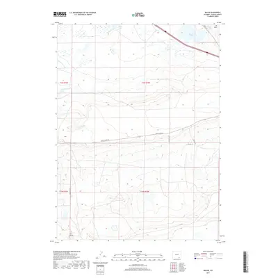
2017 Map of Miller
USGS Topo · Published 2017About this map
Miller occupies a small settlement area in the high plains of Albany County, where the landscape is defined by an extensive system of man-made irrigation features. The map illustrates the complex water management required for this arid environment, showing the Stewart Canal, Poverty Flat Ditch, Mammoth Ditch, and Black Water Ditch cutting across the terrain. These engineering works feed several water bodies, including Swedes Cabin Lake, Pilger Lake, and Knadler Lake, which contrast with the dry expanse of Big Basin.
Find a feature on this map
21 named features on this map. Tap any name to fly to it.
Don’t see what you’re looking for? This feature index may not catch every label — zoom into the map to look around manually.
Map Details
Editions of this 2017 Miller Map
This is the sole edition of this map. No revisions or reprints were ever made.
Other maps of this area

1895 · Laramie
USGS Topo · 1:125,000

1902 · Laramie
USGS Topo · 1:125,000

1905 · Laramie
USGS Topo · 1:125,000

1906 · Laramie
USGS Topo · 1:125,000

1908 · Laramie
USGS Topo · 1:125,000

1954 · Cheyenne
USGS Topo · 1:250,000

1958 · Cheyenne
USGS Topo · 1:250,000
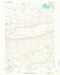
1962 · Miller
USGS Topo · 1:24,000
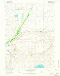
1962 · Millbrook
USGS Topo · 1:24,000
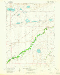
1963 · Caldwell Lake
USGS Topo · 1:24,000