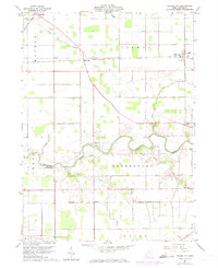
1960 Map of Miller City
USGS Topo · Published 1974About this map
The Blanchard River meanders across this rural Putnam County landscape, defining the agricultural character of the region as it was surveyed in 1960. Small rail-side and crossroads settlements such as Miller City, Kieferville, and Cuba anchor the township divisions, which include Monroe, Palmer, and Greensburg. The Norfolk and Western railway cuts a diagonal line through the northern half of the sheet, passing through Hector and Wisterman. This map is particularly detailed for genealogical research, identifying numerous family-associated cemeteries like Wing Cem, Varner Cem, and Myers Cem. Local community life is further evidenced by the presence of the Townhall and the County Sch near the river. The landscape shows a mix of wooded riverbanks and the strictly gridded farmland of the Congress Lands, with specific industrial activity noted at a Claypit in the southern portion of the quadrangle.
Find a feature on this map
31 named features on this map. Tap any name to fly to it.
Don’t see what you’re looking for? This feature index may not catch every label — zoom into the map to look around manually.
Map Details
Editions of this 1960 Miller City Map
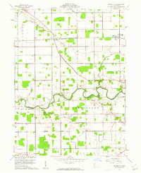
2 editions found
Other maps of this area

1906 · Columbus Grove
USGS Topo · 1:62,500

1908 · Columbus Grove
USGS Topo · 1:62,500

1908 · Ottawa
USGS Topo · 1:62,500

1909 · Continental
USGS Topo · 1:62,500

1911 · Delphos
USGS Topo · 1:62,500

1944 · Delphos
USGS Topo · 1:62,500

1953 · Fort Wayne
USGS Topo · 1:250,000

1953 · Muncie
USGS Topo · 1:250,000

1956 · Muncie
USGS Topo · 1:250,000

1956 · Fort Wayne
USGS Topo · 1:250,000