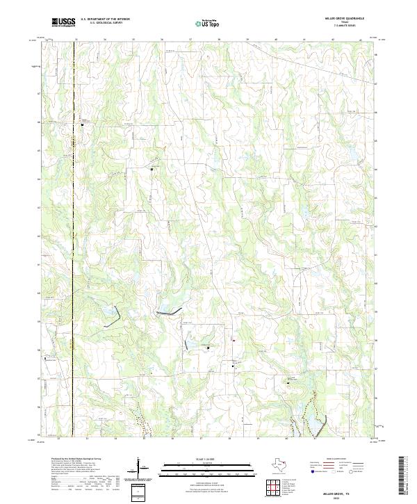
2022 Map of Miller Grove
USGS Topo · Published 2022About this map
The Hunt Co and Hopkins Co border defines the western edge of this agricultural landscape, where numerous creek branches converge to drain the terrain. Small rural burial grounds are scattered throughout the quadrangle, including the Sunny Point Cem in the north and the Donelton Cem near the western boundary. These sites, along with the Miller Grove Cem and Bone and Proctor Cem, provide critical touchstones for genealogists researching family lineages in this part of North Texas.
Find a feature on this map
66 named features on this map. Tap any name to fly to it.
Don’t see what you’re looking for? This feature index may not catch every label — zoom into the map to look around manually.
Map Details
Editions of this 2022 Miller Grove Map
This is the sole edition of this map. No revisions or reprints were ever made.
Other maps of this area

1953 · Texarkana
USGS Topo · 1:250,000

1956 · Texarkana
USGS Topo · 1:250,000

1956 · Tyler
USGS Topo · 1:250,000

1956 · Emory
USGS Topo · 1:62,500

1958 · Arbala
USGS Topo · 1:24,000

1959 · Alba
USGS Topo · 1:62,500

1962 · Lone Oak North
USGS Topo · 1:24,000

1962 · Miller Grove
USGS Topo · 1:24,000

1962 · Brashear
USGS Topo · 1:24,000

1964 · Cumby
USGS Topo · 1:24,000