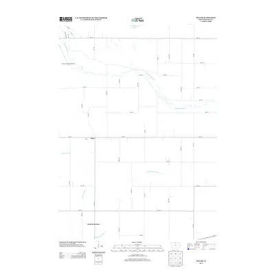
2013 Map of Miller
USGS Topo · Published 2013About this map
The coastal parishes of Iberia and St Mary are defined by the winding course of Bayou Teche and the salt dome of Avery Island. In the early 1950s, the region's economy relied heavily on agriculture and transportation, with the S.P. railroad connecting established sugar-producing communities like Jeanerette, Franklin, and New Iberia. Smaller settlements such as Patoutville, Lydia, and Adeline dot the landscape near the bayou, while Weeks and Louisa sit closer to the shoreline of West Cote Blanche Bay.
Find a feature on this map
33 named features on this map. Tap any name to fly to it.
Don’t see what you’re looking for? This feature index may not catch every label — zoom into the map to look around manually.
Map Details
Editions of this 2013 Miller Map
This is the sole edition of this map. No revisions or reprints were ever made.
Other maps of this area

1954 · Mason City
USGS Topo · 1:250,000

1957 · Mason City
USGS Topo · 1:250,000

1958 · Mason City
USGS Topo · 1:250,000

1972 · Clear Lake West
USGS Topo · 1:24,000

1972 · Forest City
USGS Topo · 1:24,000

1972 · Fertile
USGS Topo · 1:24,000

1972 · Hayfield
USGS Topo · 1:24,000

1972 · Pilot Knob
USGS Topo · 1:24,000
1972 · Ventura Heights
USGS Topo · 1:24,000
1972 · Duncan
USGS Topo · 1:24,000