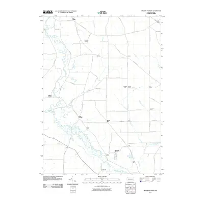
2010 Map of Millers Station
USGS Topo · Published 2010About this map
French Creek and Muddy Creek wind through this landscape, defining a network of rural hamlets and named intersections that characterized northwestern Pennsylvania into the early 21st century. The map shows a high density of "Corners"—small, historic crossroads settlements like Ferris Corners, Foxburg Corners, and Jervis Corners—that speak to the early family-based land distribution of the region. Local heritage is further grounded in sites such as the Mackey Hill Cemetery and Chapinville Cemetery, alongside landmarks like Camp Mystic near the northern creek bends.
Find a feature on this map
77 named features on this map. Tap any name to fly to it.
Don’t see what you’re looking for? This feature index may not catch every label — zoom into the map to look around manually.
Map Details
Editions of this 2010 Millers Station Map
This is the sole edition of this map. No revisions or reprints were ever made.
Other maps of this area

1923 · Meadville
USGS Topo · 1:62,500

1923 · Cambridge Springs
USGS Topo · 1:62,500

1925 · Meadville
USGS Topo · 1:62,500

1925 · Cambridge Springs
USGS Topo · 1:62,500

1927 · Townville
USGS Topo · 1:48,000

1929 · Union City
USGS Topo · 1:62,500

1932 · Townville
USGS Topo · 1:62,500

1932 · Union City
USGS Topo · 1:62,500

1943 · Meadville
USGS Topo · 1:62,500

1943 · Cambridge Springs
USGS Topo · 1:62,500