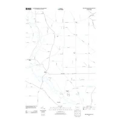
2013 Map of Millers Station
USGS Topo · Published 2013About this map
French Cr winds through the western portion of this Crawford County landscape, defining a valley where the historic hamlet of Millers Station sits at a transition between the waterway and the rising ground of Mackey Hill. The geography is characterized by an extensive network of named crossroads and family-held corners that anchor the rural community. These include Ferris Corners, Foxburg Corners, and Jervis Corners, reflecting a 19th-century settlement pattern that has persisted into the modern era.
Find a feature on this map
92 named features on this map. Tap any name to fly to it.
Don’t see what you’re looking for? This feature index may not catch every label — zoom into the map to look around manually.
Map Details
Editions of this 2013 Millers Station Map
This is the sole edition of this map. No revisions or reprints were ever made.
Other maps of this area

1923 · Meadville
USGS Topo · 1:62,500

1923 · Cambridge Springs
USGS Topo · 1:62,500

1925 · Meadville
USGS Topo · 1:62,500

1925 · Cambridge Springs
USGS Topo · 1:62,500

1927 · Townville
USGS Topo · 1:48,000

1929 · Union City
USGS Topo · 1:62,500

1932 · Townville
USGS Topo · 1:62,500

1932 · Union City
USGS Topo · 1:62,500

1943 · Meadville
USGS Topo · 1:62,500

1943 · Cambridge Springs
USGS Topo · 1:62,500