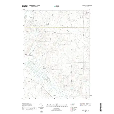
2019 Map of Millers Station
USGS Topo · Published 2019About this map
French Creek and Muddy Creek wind through the borderlands of Erie and Crawford counties, defining a landscape of wetlands and valley settlements. The area is anchored by Mill Village to the north and the cluster of Millers Station and Teepleville to the south, connected by a network of rural roads such as Miller Hill Rd and Teepleville Rd. Significant for genealogists, the map identifies several small burial sites, including the Waterhouse Family Burial Ground and the Jervis Cem, which speak to the area's early family farmstead history. Modern recreation and transport are reflected in the Trolley Line Trail and the Oberlander Airport, while the low-lying marshes of Dead Creek illustrate the natural drainage patterns that have shaped local land use for generations.
Find a feature on this map
78 named features on this map. Tap any name to fly to it.
Don’t see what you’re looking for? This feature index may not catch every label — zoom into the map to look around manually.
Map Details
Editions of this 2019 Millers Station Map
This is the sole edition of this map. No revisions or reprints were ever made.
Other maps of this area

1923 · Meadville
USGS Topo · 1:62,500

1923 · Cambridge Springs
USGS Topo · 1:62,500

1925 · Meadville
USGS Topo · 1:62,500

1925 · Cambridge Springs
USGS Topo · 1:62,500

1927 · Townville
USGS Topo · 1:48,000

1929 · Union City
USGS Topo · 1:62,500

1932 · Townville
USGS Topo · 1:62,500

1932 · Union City
USGS Topo · 1:62,500

1943 · Meadville
USGS Topo · 1:62,500

1943 · Cambridge Springs
USGS Topo · 1:62,500