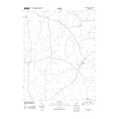
2010 Map of Millersburg
USGS Topo · Published 2010About this map
Hinkston Creek meanders through this agricultural landscape, providing a primary drainage route as it flows toward the town of Millersburg. The settlement pattern in this part of Bourbon County is defined by its creek-bound boundaries and a network of rural roads that connect small communities like Colville, Hooktown, and Blacks Crossroads. These routes, including Old Millersburg Rd and Redmon Rd, follow the natural contours of the land, linking farms to the regional trade centers. For those exploring local history or genealogy, the map identifies specific landmarks such as the Old East Broadwell Cemetery in the northwest and the Ruddels Mill Cemetery near the confluence of Stoner Creek and the South Fork Licking River. The landscape is etched with smaller waterways like Laysons Branch and Flat Run, which have historically influenced the placement of homesteads and the development of the county's rural road system.
Find a feature on this map
37 named features on this map. Tap any name to fly to it.
Don’t see what you’re looking for? This feature index may not catch every label — zoom into the map to look around manually.
Map Details
Editions of this 2010 Millersburg Map
This is the sole edition of this map. No revisions or reprints were ever made.
Other maps of this area

1927 · Lexington
USGS Topo · 1:48,000

1929 · Cynthiana
USGS Topo · 1:48,000

1929 · Lexington
USGS Topo · 1:62,500

1934 · Cynthiana
USGS Topo · 1:62,500

1952 · Paris East
USGS Topo · 1:24,000

1952 · North Middletown
USGS Topo · 1:24,000

1952 · Piqua
USGS Topo · 1:24,000

1952 · Shady Nook
USGS Topo · 1:24,000

1953 · Carlisle
USGS Topo · 1:24,000

1953 · Millersburg
USGS Topo · 1:24,000