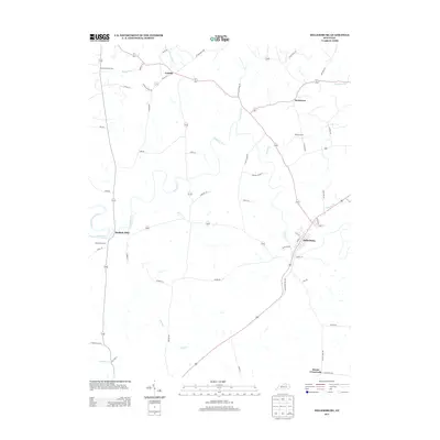
2013 Map of Millersburg
USGS Topo · Published 2013About this map
Millersburg anchors this portrait of rural Bourbon County, situated where the historic pike system intersects the winding waters of Hinkston Cr. The landscape is defined by the drainage network of the S Fork Licking River and Stoner Cr, which carved the undulating terrain that supported generations of Bluegrass farming. Small, established settlements like Ruddels Mills and Colville are connected by a web of narrow local roads, many bearing the names of early resident families such as Author Rd, Purdy Ln, and McKee Ln.
Find a feature on this map
58 named features on this map. Tap any name to fly to it.
Don’t see what you’re looking for? This feature index may not catch every label — zoom into the map to look around manually.
Map Details
Editions of this 2013 Millersburg Map
This is the sole edition of this map. No revisions or reprints were ever made.
Other maps of this area

1927 · Lexington
USGS Topo · 1:48,000

1929 · Cynthiana
USGS Topo · 1:48,000

1929 · Lexington
USGS Topo · 1:62,500

1934 · Cynthiana
USGS Topo · 1:62,500

1952 · Paris East
USGS Topo · 1:24,000

1952 · North Middletown
USGS Topo · 1:24,000

1952 · Piqua
USGS Topo · 1:24,000

1952 · Shady Nook
USGS Topo · 1:24,000

1953 · Carlisle
USGS Topo · 1:24,000

1953 · Millersburg
USGS Topo · 1:24,000