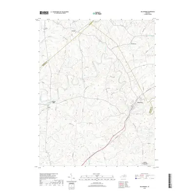
2019 Map of Millersburg
USGS Topo · Published 2019About this map
Millersburg serves as a primary hub in this Bourbon County landscape, where the confluence of several prominent waterways shaped early Kentucky settlement. The South Fork Licking River meets with Stoner Creek near Ruddels Mills, an area defined by its historical milling roots and the nearby Ruddels Mill Cem. This 2019 survey documents the transition from these river valleys to the surrounding uplands, intersected by early thoroughfares like Maysville Rd 68 and Millersburg Rd.
Find a feature on this map
54 named features on this map. Tap any name to fly to it.
Don’t see what you’re looking for? This feature index may not catch every label — zoom into the map to look around manually.
Map Details
Editions of this 2019 Millersburg Map
This is the sole edition of this map. No revisions or reprints were ever made.
Other maps of this area

1927 · Lexington
USGS Topo · 1:48,000

1929 · Cynthiana
USGS Topo · 1:48,000

1929 · Lexington
USGS Topo · 1:62,500

1934 · Cynthiana
USGS Topo · 1:62,500

1952 · Paris East
USGS Topo · 1:24,000

1952 · North Middletown
USGS Topo · 1:24,000

1952 · Piqua
USGS Topo · 1:24,000

1952 · Shady Nook
USGS Topo · 1:24,000

1953 · Carlisle
USGS Topo · 1:24,000

1953 · Millersburg
USGS Topo · 1:24,000