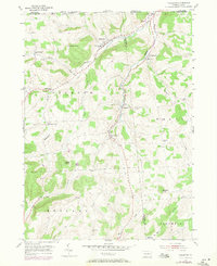
1954 Map of Millerton
USGS Topo · Published 1971About this map
Seeley Creek carves a deep valley through the northern reaches of Tioga and Bradford Counties, defining a landscape of high ridges and narrow agricultural bottoms. In the mid-1950s, the rural community at Millerton served as a central hub, supported by the Township Sch and nearby settlements like Daggett and Jobs Corners. The map reveals a dense network of family and community history preserved in several burial grounds, including the Alder Run Cem and the Judson Hill Cem overlooking Beckwith Creek. The terrain is punctuated by significant heights such as Norway Hill and Saxtons Knob, which separate the drainage of Bear Creek from the surrounding highlands. The layout of these farmsteads and the West Jackson Ch illustrates a classic Appalachian plateau settlement pattern, where life was closely tied to the creek beds and the steep topography of the Tioga foothills.
Find a feature on this map
36 named features on this map. Tap any name to fly to it.
Don’t see what you’re looking for? This feature index may not catch every label — zoom into the map to look around manually.
Map Details
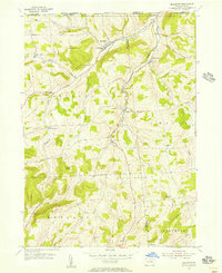
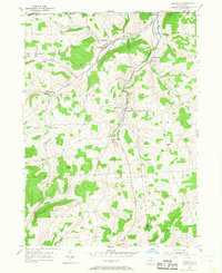
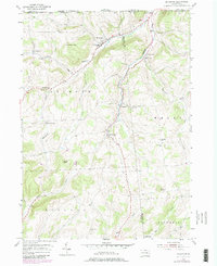
Editions of this 1954 Millerton Map
4 editions found
Other maps of this area

1895 · Elmira
USGS Topo · 1:62,500

1900 · Tioga
USGS Topo · 1:62,500

1902 · Tioga
USGS Topo · 1:62,500

1905 · Watkins Glen
USGS Topo · 1:125,000

1914 · Corning
USGS Topo · 1:62,500

1931 · Troy
USGS Topo · 1:48,000

1938 · Troy
USGS Topo · 1:62,500

1944 · Corning
USGS Topo · 1:62,500

1950 · Elmira
USGS Topo · 1:250,000

1953 · Roseville
USGS Topo · 1:24,000
Featured Places
- Trowbridge, Jackson Township
- Millerton, Jackson Township
- Jackson Township, PA
- Columbia Township, PA
- Rutland Township, PA