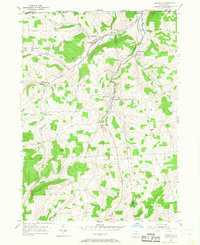
1954 Map of Millerton
USGS Topo · Published 1967About this map
Seeley Creek carves a central valley through the northern border of Tioga County, where the Pennsylvania and New York state lines meet. This mid-century survey documents a landscape of high ridges and narrow creek bottoms, characterized by family farms and small crossroad communities. The village of Millerton serves as the local hub, situated near the headwaters where Norway Hill and Hammond Run define the upland topography.
Find a feature on this map
40 named features on this map. Tap any name to fly to it.
Don’t see what you’re looking for? This feature index may not catch every label — zoom into the map to look around manually.
Map Details
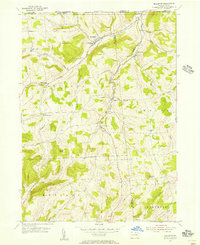
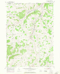
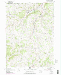
Editions of this 1954 Millerton Map
4 editions found
Other maps of this area

1895 · Elmira
USGS Topo · 1:62,500

1900 · Tioga
USGS Topo · 1:62,500

1902 · Tioga
USGS Topo · 1:62,500

1905 · Watkins Glen
USGS Topo · 1:125,000

1914 · Corning
USGS Topo · 1:62,500

1931 · Troy
USGS Topo · 1:48,000

1938 · Troy
USGS Topo · 1:62,500

1944 · Corning
USGS Topo · 1:62,500

1950 · Elmira
USGS Topo · 1:250,000

1953 · Roseville
USGS Topo · 1:24,000
Featured Places
- Trowbridge, Jackson Township
- Millerton, Jackson Township
- Jackson Township, PA
- Columbia Township, PA
- Rutland Township, PA