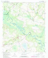
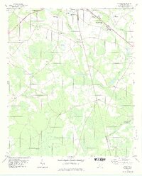
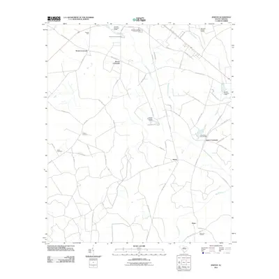
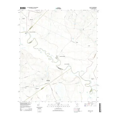
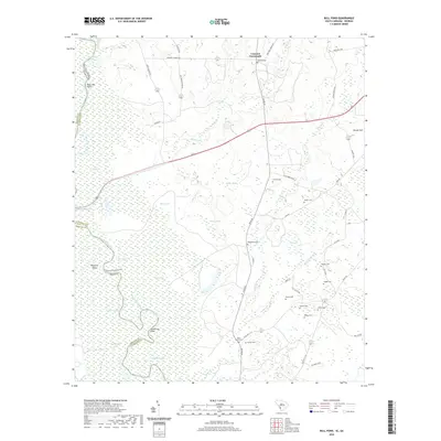
1964 Map of Millett
USGS Topo · Published 1989About this map
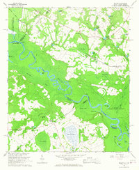
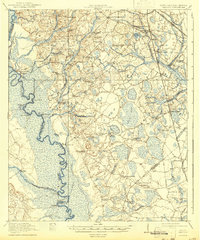
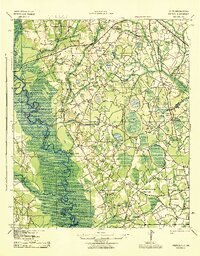
The Savannah River defines the border between South Carolina and Georgia on this mid-century survey, winding through a complex network of wetlands and riverbottom land including Telfair Bay and The Big Bay. This section of the river is marked by several historical access points such as Steel Creek Landing, Little Hell Landing, and Stony Bluff Landing. To the north and east, the landscape transitions into agricultural and wooded plots dotted with small communities like Millett and Hattieville. Local centers of commerce and faith are well-documented, including Dunbar Store and Cains Store, alongside rural congregations at Speedwell Ch and Zion Grove Ch. The presence of the Savannah River Plant in the southern and western portions indicates the significant mid-century industrial footprint of the Atomic Energy Commission in this river corridor.
Find a feature on this map
76 named features on this map. Tap any name to fly to it.
Don’t see what you’re looking for? This feature index may not catch every label — zoom into the map to look around manually.
Map Details
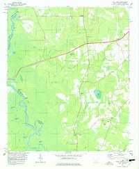
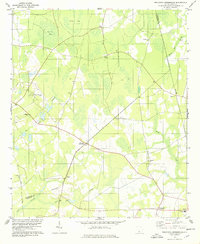
Editions of this 1964 Millett Map
2 editions found
Historical Maps of Millett Through Time
32 maps found
1920 Peeples
Allendale County, SC
1943 Peeples
Allendale County, SC
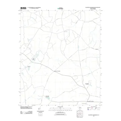
1964 Millett
Allendale County, SC
1978 Barton
Allendale County, SC
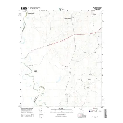
1978 Bull Pond
Allendale County, SC
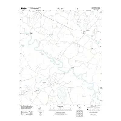
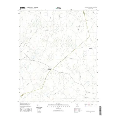
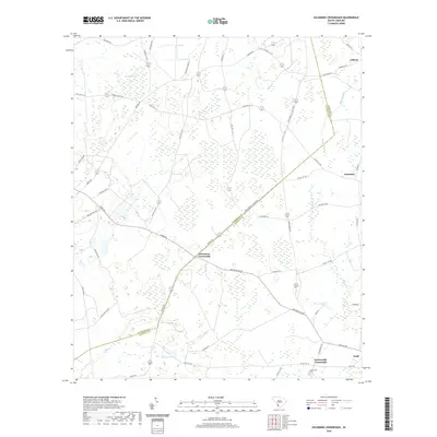
1978 Solomons Crossroads
Allendale County, SC
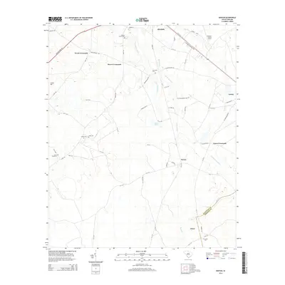
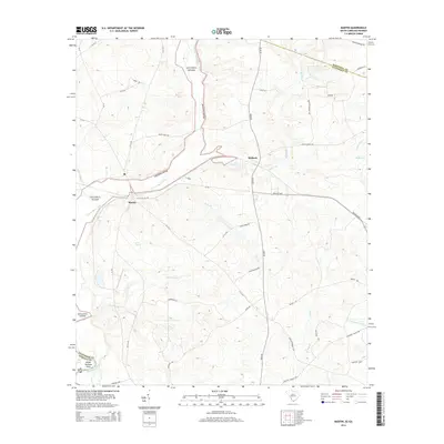
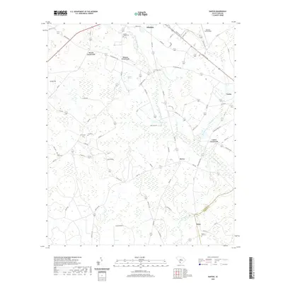
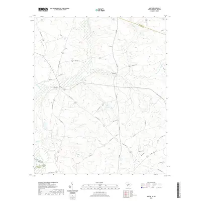
1979 Martin
Allendale County, SC
2011 Barton
Allendale County, SC
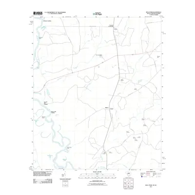
2011 Bull Pond
Allendale County, SC
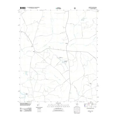
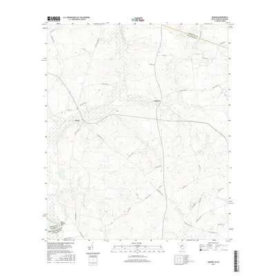
2011 Martin
Allendale County, SC
2011 Millett
Allendale County, SC
2011 Solomons Crossroads
Allendale County, SC
2014 Barton
Allendale County, SC
2014 Bull Pond
Allendale County, SC
2014 Martin
Allendale County, SC
2014 Millett
Allendale County, SC
2014 Solomons Crossroads
Allendale County, SC
2017 Barton
Allendale County, SC
2017 Bull Pond
Allendale County, SC
2017 Martin
Allendale County, SC
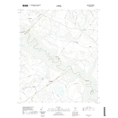
2017 Millett
Allendale County, SC
2017 Solomons Crossroads
Allendale County, SC
2020 Barton
Allendale County, SC
2020 Bull Pond
Allendale County, SC
2020 Martin
Allendale County, SC
2020 Millett
Allendale County, SC
2020 Solomons Crossroads
Allendale County, SC
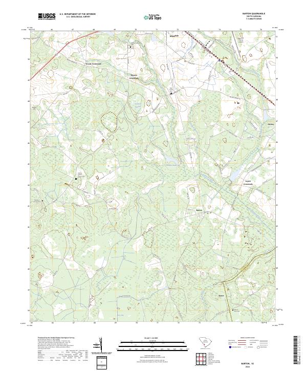
2024 Barton
Allendale County, SC
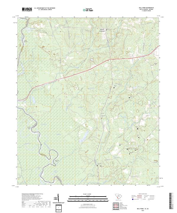
2024 Bull Pond
Allendale County, SC
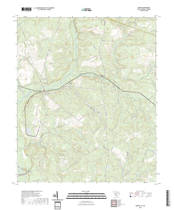
2024 Martin
Allendale County, SC
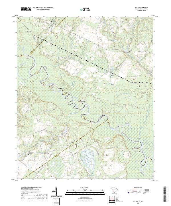
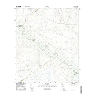
2024 Millett
Allendale County, SC
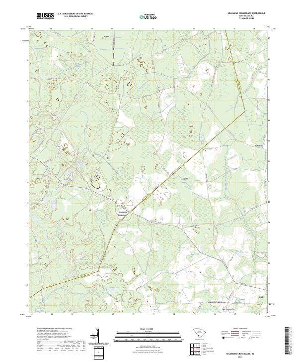
2024 Solomons Crossroads
Allendale County, SC
Featured Locations
- Little Hell Landing, SC
- Millett, SC
- Steel Creek Landing, SC
- Browns Landing, SC
- Rock Fence Crossroads, GA