
1913 Map of Millican
USGS Topo · Published 1913About this map
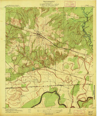
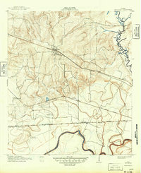
Millican stands as the primary rail hub in this 1910-surveyed landscape, where three major rail lines converge amidst the fertile bottomlands of the Brazos River. The map reveals a complex transportation network with the Houston and Texas Central RR cutting across the northern reaches and the Gulf Colorado and Santa Fe RR paralleling the river to the south. This era is defined by large-scale agricultural operations, evidenced by labels such as Steele Farm, Allen Farm, and Rogers Farm, which suggest the concentrated land ownership typical of the Brazos valley during the early 20th century.
Find a feature on this map
25 named features on this map. Tap any name to fly to it.
Don’t see what you’re looking for? This feature index may not catch every label — zoom into the map to look around manually.
Map Details
Editions of this 1913 Millican Map
3 editions found
Other maps of this area

1914 · Gay Hill
USGS Topo · 1:62,500

1914 · Navasota
USGS Topo · 1:62,500

1954 · Austin
USGS Topo · 1:250,000

1956 · Bryan
USGS Topo · 1:62,500

1956 · Carlos
USGS Topo · 1:62,500

1958 · Washington
USGS Topo · 1:24,000

1958 · Navasota
USGS Topo · 1:24,000

1958 · Courtney
USGS Topo · 1:24,000

1959 · Millican
USGS Topo · 1:24,000

1959 · Clay
USGS Topo · 1:24,000