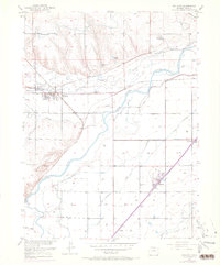
1950 Map of Milliken
USGS Topo · Published 1970About this map
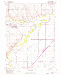
South Platte River and the Big Thompson River converge in this agricultural landscape of Weld County, creating a fertile river bottom defined by an extensive network of irrigation canals. The 1950s era of the region is characterized by small railway-dependent settlements and rural educational centers like Fairview School and Daniels Sch. Significant historical depth is found at the Fort St Vrain Ruins, marking the location of an early trading post near the river junction. The infrastructure of the Union Pacific railroad dictates the growth of towns like Milliken and Gilcrest, while smaller stops such as Peckham, Adna, and Dent support the surrounding farms. An intricate system of water rights is visible through numerous named ditches, including the Pacific Ditch, Western Ditch, and Farmers Independent Ditch, which transformed this high plains terrain into a productive sugar beet and grain-producing corridor.
Find a feature on this map
32 named features on this map. Tap any name to fly to it.
Don’t see what you’re looking for? This feature index may not catch every label — zoom into the map to look around manually.
Map Details
Editions of this 1950 Milliken Map
6 editions found
Other maps of this area

1902 · Greeley
USGS Topo · 1:125,000

1949 · Gowanda
USGS Topo · 1:24,000

1949 · Platteville
USGS Topo · 1:24,000

1950 · Greeley
USGS Topo · 1:24,000

1950 · Gowanda
USGS Topo · 1:24,000

1950 · Platteville
USGS Topo · 1:24,000

1950 · Windsor
USGS Topo · 1:24,000

1950 · Johnstown
USGS Topo · 1:24,000

1950 · Bracewell
USGS Topo · 1:24,000

1950 · Milliken
USGS Topo · 1:24,000