
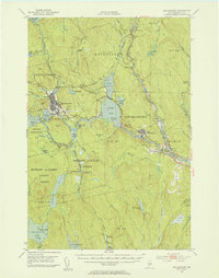
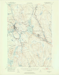
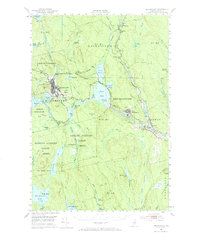
1951 Map of Millinocket
USGS Topo · Published 1953About this map
The West Branch Penobscot River and the East Branch Penobscot River converge at Medway, framing an era of heavy industrial and hydroelectric development in northern Maine. The landscape is defined by the water management systems supporting the paper industry, with dams and flowages such as Dolby Pond, Quakish Lake, and the Partridge Brook Flowage altering the natural river courses. The town of Millinocket serves as a primary hub, featuring the Millinocket Airport and a network of rails including the Bangor and Aroostook railroad that snakes north toward Grindstone.
Find a feature on this map
95 named features on this map. Tap any name to fly to it.
Don’t see what you’re looking for? This feature index may not catch every label — zoom into the map to look around manually.
Map Details
Editions of this 1951 Millinocket Map
4 editions found
Other maps of this area

1920 · Winn
USGS Topo · 1:62,500

1927 · Katahdin
USGS Topo · 1:48,000

1930 · Katahdin
USGS Topo · 1:62,500

1940 · Sherman
USGS Topo · 1:62,500

1940 · Mattawamkeag
USGS Topo · 1:62,500

1942 · Lincoln
USGS Topo · 1:62,500

1942 · Mattawamkeag
USGS Topo · 1:62,500

1942 · Sherman
USGS Topo · 1:62,500

1947 · Schoodic
USGS Topo · 1:62,500

1949 · Schoodic
USGS Topo · 1:62,500