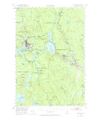
1951 Map of Millinocket
USGS Topo · Published 1966About this map
The West Branch Penobscot River serves as the industrial and geographic spine of this mid-century landscape, fueling the paper-mill towns of Millinocket and East Millinocket. The map reveals a transition between established settlements and the expansive timberlands to the south, including the Hopkins Academy Grant (West) and Hopkins Academy Grant (East). Transportation networks are well-defined, showing the paths of the Bangor and Aroostook and Canadian Pacific railroads, alongside the Millinocket Airport.
Find a feature on this map
90 named features on this map. Tap any name to fly to it.
Don’t see what you’re looking for? This feature index may not catch every label — zoom into the map to look around manually.
Map Details
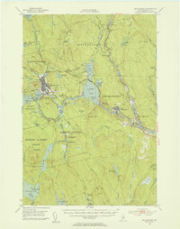
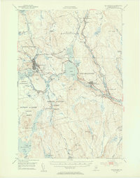
Editions of this 1951 Millinocket Map
4 editions found

Other maps of this area

1920 · Winn
USGS Topo · 1:62,500

1927 · Katahdin
USGS Topo · 1:48,000

1930 · Katahdin
USGS Topo · 1:62,500

1940 · Sherman
USGS Topo · 1:62,500

1940 · Mattawamkeag
USGS Topo · 1:62,500

1942 · Lincoln
USGS Topo · 1:62,500

1942 · Mattawamkeag
USGS Topo · 1:62,500

1942 · Sherman
USGS Topo · 1:62,500

1947 · Schoodic
USGS Topo · 1:62,500

1949 · Schoodic
USGS Topo · 1:62,500