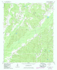
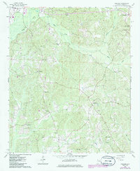
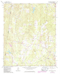
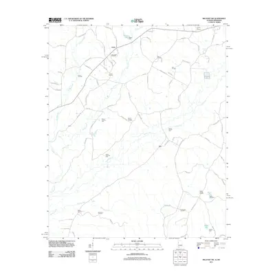
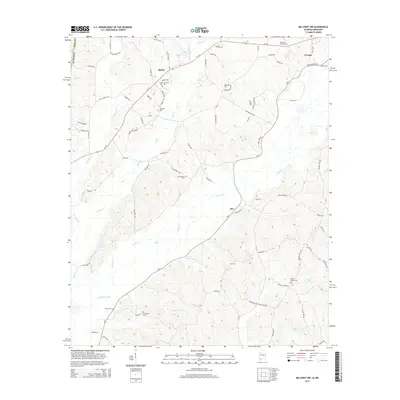
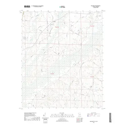
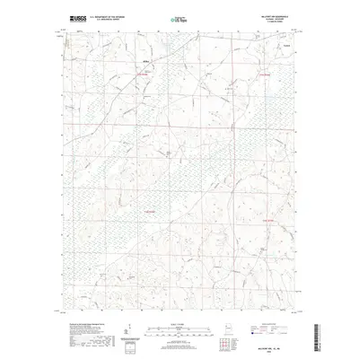
1967 Map of Millport NW
USGS Topo · Published 1986About this map
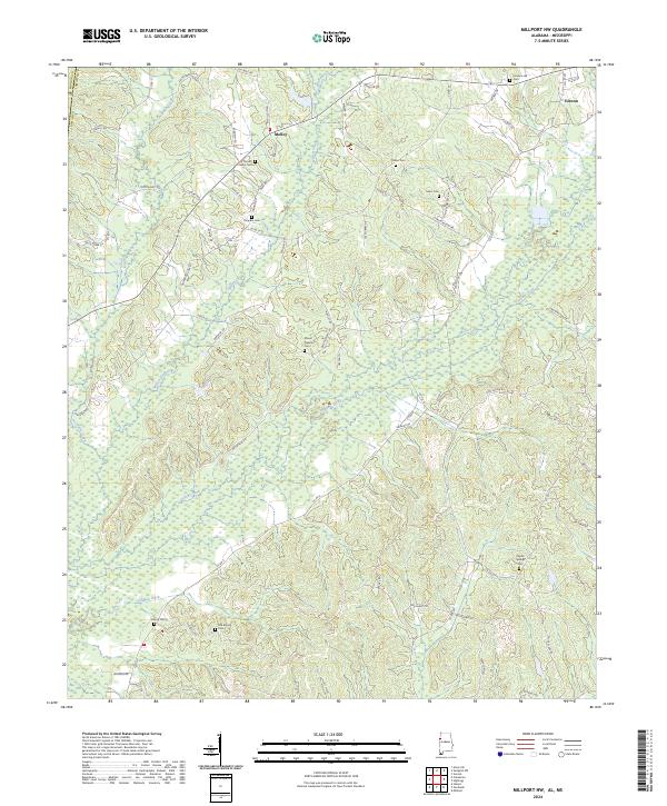
Vernon marks the northeastern edge of this map, situated in a landscape defined by the winding paths of Yellow Creek and Wilson Creek. The map documents a rural community structure deeply tied to its local institutions, evidenced by the clustering of churches and schools such as Murray Chapel, Todd High Sch, and the Lamar County Training Sch. Significant genealogical data is preserved through the locations of numerous family and church burial grounds, including the Lampkin Cem, Sailor Cem, and the Old Asbury Cem. The terrain rises toward Furnace Hill in the north, while the southern reaches are dotted with water bodies like Gault Lake and McGee Lake. The surveying by the U.S. Geological Survey during the mid-1960s captures the area before modern development altered the distribution of these small civic and spiritual centers.
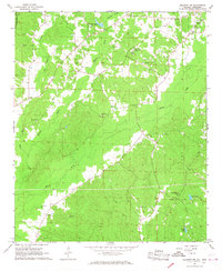
Find a feature on this map
35 named features on this map. Tap any name to fly to it.
Don’t see what you’re looking for? This feature index may not catch every label — zoom into the map to look around manually.
Map Details
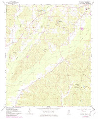
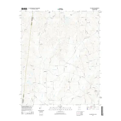
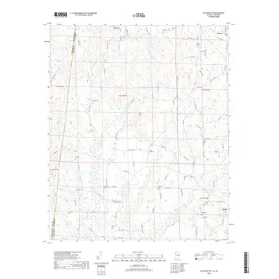
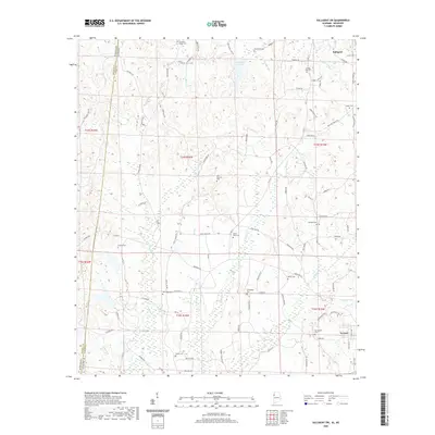
Editions of this 1967 Millport NW Map
3 editions found
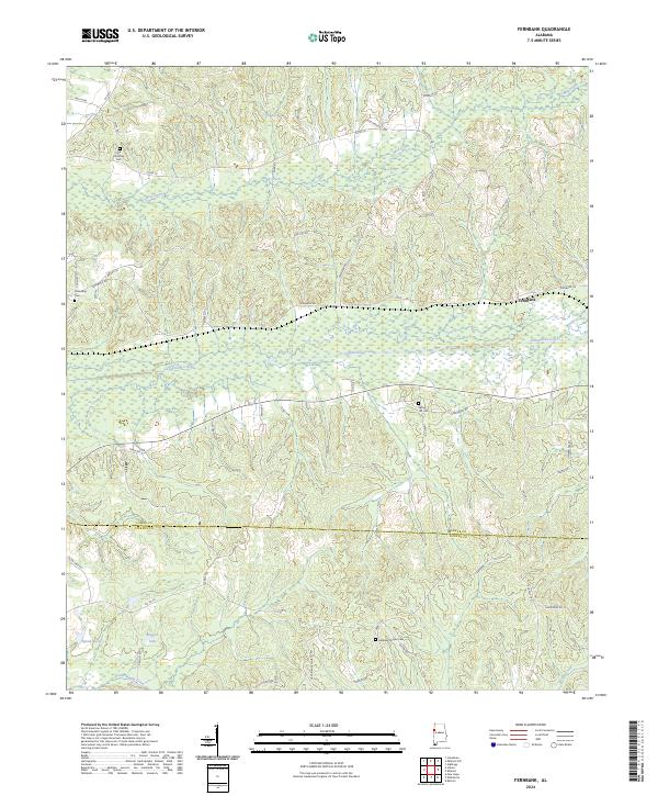
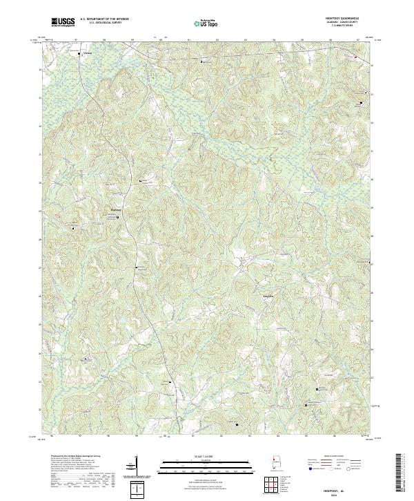
Historical Maps of Vernon Through Time
24 maps found
1967 Fernbank
Lamar County, AL
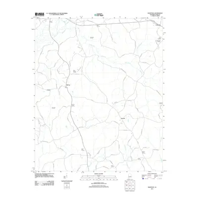
1967 Hightogy
Lamar County, AL
1967 Millport NW
Lamar County, AL
1967 Sulligent SW
Lamar County, AL
2011 Fernbank
Lamar County, AL
2011 Hightogy
Lamar County, AL
2011 Millport NW
Lamar County, AL
2011 Sulligent SW
Lamar County, AL
2014 Fernbank
Lamar County, AL
2014 Hightogy
Lamar County, AL
2014 Millport NW
Lamar County, AL
2014 Sulligent SW
Lamar County, AL
2018 Fernbank
Lamar County, AL
2018 Hightogy
Lamar County, AL
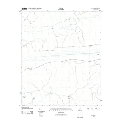
2018 Millport NW
Lamar County, AL
2018 Sulligent SW
Lamar County, AL
2020 Fernbank
Lamar County, AL
2020 Hightogy
Lamar County, AL
2020 Millport NW
Lamar County, AL
2020 Sulligent SW
Lamar County, AL
2024 Fernbank
Lamar County, AL
2024 Hightogy
Lamar County, AL
2024 Millport NW
Lamar County, AL
2024 Sulligent SW
Lamar County, AL