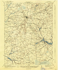
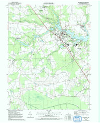
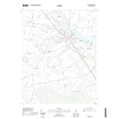
1917 Map of Millsboro
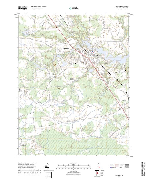
USGS Topo · Published 1938About this map
Georgetown serves as the focal point of this Sussex County landscape, where the Pennsylvania RR and the Dupont Highway converge to facilitate the regional agricultural economy. The survey reveals a dense network of early 20th-century rural infrastructure, characterized by numerous crossroads settlements such as Redden Crossroads and McDonalds Crossroads. The southern portion of the sheet is dominated by the headwaters of the Indian River, fed by Millsboro Pond and Betts Pond, while the vast Cedar Swamp marks the low-lying southeastern corner. Genealogists will find exceptional value in the exhaustive mapping of local institutions, including dozens of rural schoolhouses like Marvel School, Mission Hill School, and Hosey School, alongside landmarks like the County Farm and Tyndall Campgrounds. This mapping depicts a transition from localized milling at sites like Morris Millpond to a more integrated rail-and-road transport system.
Find a feature on this map
100 named features on this map. Tap any name to fly to it.
Don’t see what you’re looking for? This feature index may not catch every label — zoom into the map to look around manually.
Map Details
Editions of this 1917 Millsboro Map
2 editions found

Historical Maps of Georgetown Through Time
11 maps found
1917 Millsboro
Sussex County, DE

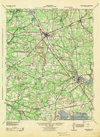
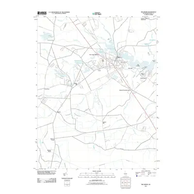
1938 Millsboro
Sussex County, DE
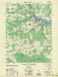
1944 Millsboro
Sussex County, DE
1954 Millsboro
Sussex County, DE
1955 Millsboro
Sussex County, DE
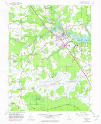
1992 Millsboro
Sussex County, DE
2011 Millsboro
Sussex County, DE
2014 Millsboro
Sussex County, DE
2016 Millsboro
Sussex County, DE
2019 Millsboro
Sussex County, DE
2023 Millsboro
Sussex County, DE