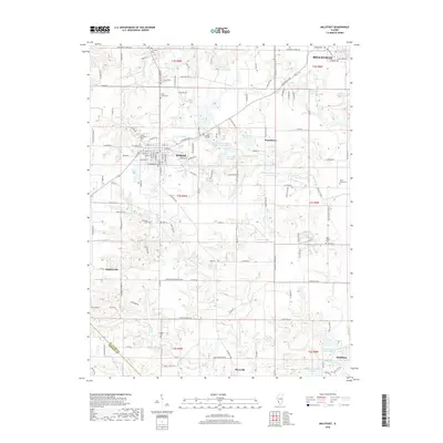
2018 Map of Millstadt
USGS Topo · Published 2018About this map
Millstadt serves as a central hub in this Southern Illinois landscape, where the transition from the southern outskirts of Belleville to the rural expanses of Floraville and Smithton is clearly defined. The area is marked by a high density of lineage-rich sites, particularly concentrated around the Millstadt township where Mount Evergreen Cem and Old Millstadt Cem are situated. Further south, the rural character is evidenced by scattered settlements like Bohleysville and several family-named burial grounds including Stein-Nagel Cem and Freivogel Cem.
Find a feature on this map
137 named features on this map. Tap any name to fly to it.
Don’t see what you’re looking for? This feature index may not catch every label — zoom into the map to look around manually.
Map Details
Editions of this 2018 Millstadt Map
This is the sole edition of this map. No revisions or reprints were ever made.
Other maps of this area

1888 · St. Louis
USGS Topo · 1:62,500

1907 · Belleville
USGS Topo · 1:62,500

1910 · Waterloo
USGS Topo · 1:62,500

1912 · New Athens
USGS Topo · 1:62,500

1913 · Waterloo
USGS Topo · 1:62,500

1931 · French Village
USGS Topo · 1:24,000

1933 · Cahokia
USGS Topo · 1:24,000

1934 · Cahokia
USGS Topo · 1:24,000

1935 · French Village
USGS Topo · 1:24,000

1937 · O'Fallon
USGS Topo · 1:24,000