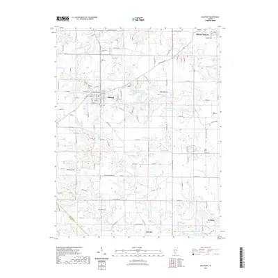
2021 Map of Millstadt
USGS Topo · Published 2021About this map
Millstadt sits at the intersection of several local routes in Saint Clair County, serving as a central hub for the surrounding agricultural landscape in this modern topographic survey. The village's history is preserved through numerous burial grounds, including Mount Evergreen Cem and Centreville Cem, which offer significant value for genealogical research in this part of Illinois. The terrain is defined by the drainage of Prairie du Pont Cr and W Fork Richland Cr, which carve through the countryside near smaller clusters like Roachtown and Floraville. To the south and east, the map details the outskirts of Smithton and the edges of Belleville, showing how these communities have matured over decades of development. Recreational sites such as Roachtown Lake and the Millstadt Sportsmans Club Lake are clearly identified, alongside family-named landmarks like the Stein - Nagel Cem.
Find a feature on this map
123 named features on this map. Tap any name to fly to it.
Don’t see what you’re looking for? This feature index may not catch every label — zoom into the map to look around manually.
Map Details
Editions of this 2021 Millstadt Map
This is the sole edition of this map. No revisions or reprints were ever made.
Other maps of this area

1888 · St. Louis
USGS Topo · 1:62,500

1907 · Belleville
USGS Topo · 1:62,500

1910 · Waterloo
USGS Topo · 1:62,500

1912 · New Athens
USGS Topo · 1:62,500

1913 · Waterloo
USGS Topo · 1:62,500

1931 · French Village
USGS Topo · 1:24,000

1933 · Cahokia
USGS Topo · 1:24,000

1934 · Cahokia
USGS Topo · 1:24,000

1935 · French Village
USGS Topo · 1:24,000

1937 · O'Fallon
USGS Topo · 1:24,000