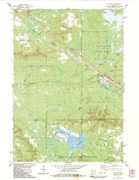
1983 Map of Millston
USGS Topo · Published 1984About this map
The Chicago and North Western railroad corridor anchors this Jackson County landscape, cutting a straight diagonal through the village of Millston. This 1980s survey illustrates a region defined by specialized wetland agriculture and timber management, notably the extensive Cranberry Bogs and the Black River State Forest. The proximity of the Fort Mc Coy Military Reservation to the south and the presence of several water control structures like Sharptail Flowage and North Flowage speak to the managed nature of the Central Wisconsin Sand County terrain.
Find a feature on this map
47 named features on this map. Tap any name to fly to it.
Don’t see what you’re looking for? This feature index may not catch every label — zoom into the map to look around manually.
Map Details
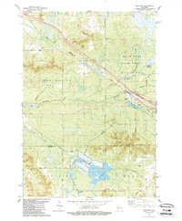
Editions of this 1983 Millston Map
2 editions found
Other maps of this area

1924 · Black River Falls
USGS Topo · 1:62,500

1926 · Black River Falls
USGS Topo · 1:62,500

1928 · Melrose
USGS Topo · 1:48,000

1947 · Millston
USGS Topo · 1:62,500

1949 · Millston
USGS Topo · 1:62,500

1949 · Melrose
USGS Topo · 1:62,500

1953 · Eau Claire
USGS Topo · 1:250,000

1958 · Eau Claire
USGS Topo · 1:250,000

1958 · Hatfield
USGS Topo · 1:48,000

1964 · Eau Claire
USGS Topo · 1:250,000