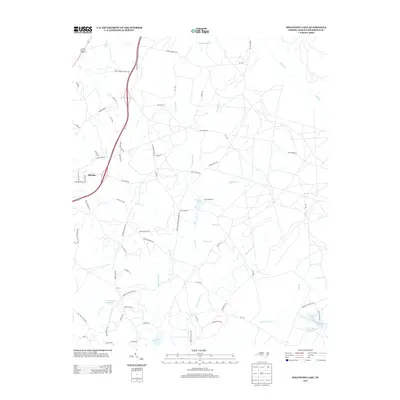
2013 Map of Millstone Lake
USGS Topo · Published 2013About this map
The town of Ellerbe serves as a western anchor for this landscape dominated by a network of creeks and small impoundments. In the eastern part of this territory, Millstone Lake and the nearby Camp Millstone indicate a region dedicated to outdoor recreation and youth conservation efforts. Numerous water bodies define the topography, including the elongated McKinney Lake and its associated Woods Pond Number 1 and Woods Pond Number 2, which lie south of Hitchcock Cr.
Find a feature on this map
74 named features on this map. Tap any name to fly to it.
Don’t see what you’re looking for? This feature index may not catch every label — zoom into the map to look around manually.
Map Details
Editions of this 2013 Millstone Lake Map
This is the sole edition of this map. No revisions or reprints were ever made.
Other maps of this area

1942 · Troy
USGS Topo · 1:125,000

1942 · Rockingham
USGS Topo · 1:125,000

1949 · Millstone Lake
USGS Topo · 1:24,000

1949 · West End
USGS Topo · 1:24,000

1949 · Hoffman
USGS Topo · 1:24,000

1949 · Marston
USGS Topo · 1:24,000

1949 · Hamlet
USGS Topo · 1:24,000

1949 · Hamlet
USGS Topo · 1:62,500

1949 · Jackson Springs
USGS Topo · 1:62,500

1950 · Norman
USGS Topo · 1:24,000