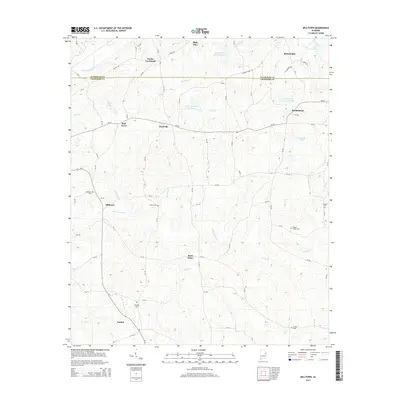
2014 Map of Milltown
USGS Topo · Published 2014About this map
The Randolph Co Chambers Co boundary line bisects this landscape, separating the northern reaches near Roanoke from the southern settlements of Milltown and Penton. The area is defined by a dense network of watercourses, most notably the winding path of Chikasasoxee Cr and its tributaries like Williams Cr and Mathews Br. Small rural hubs are scattered throughout, including Pooles Crossroad, Clackville, and Red Level, which are connected by a web of county roads and Al-77.
Find a feature on this map
84 named features on this map. Tap any name to fly to it.
Don’t see what you’re looking for? This feature index may not catch every label — zoom into the map to look around manually.
Map Details
Editions of this 2014 Milltown Map
This is the sole edition of this map. No revisions or reprints were ever made.
Other maps of this area

1891 · Ashland
USGS Topo · 1:125,000

1899 · Wedowee
USGS Topo · 1:125,000

1902 · Wedowee
USGS Topo · 1:125,000

1906 · Dadeville
USGS Topo · 1:125,000

1907 · Opelika
USGS Topo · 1:125,000

1909 · Opelika
USGS Topo · 1:125,000

1953 · Atlanta
USGS Topo · 1:250,000

1955 · Phenix City
USGS Topo · 1:250,000

1957 · Phenix City
USGS Topo · 1:250,000

1957 · Atlanta
USGS Topo · 1:250,000