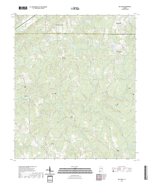
2024 Map of Milltown
USGS Topo · Published 2024About this map
Pooles Crossroad and Clackville anchor the northern reaches of this East Alabama landscape, where the border of Randolph and Chambers counties is defined by a series of high ridges and winding creek beds. The drainage of Chikasanoxee Creek and its many tributaries, including Whatley Creek and Rocky Branch, dictates the placement of early settlements and road networks like AL Highway 77. This area maintains a strong rural character, evidenced by the dispersed collection of family and community landmarks.
Find a feature on this map
96 named features on this map. Tap any name to fly to it.
Don’t see what you’re looking for? This feature index may not catch every label — zoom into the map to look around manually.
Map Details
Editions of this 2024 Milltown Map
This is the sole edition of this map. No revisions or reprints were ever made.
Other maps of this area

1891 · Ashland
USGS Topo · 1:125,000

1899 · Wedowee
USGS Topo · 1:125,000

1902 · Wedowee
USGS Topo · 1:125,000

1906 · Dadeville
USGS Topo · 1:125,000

1907 · Opelika
USGS Topo · 1:125,000

1909 · Opelika
USGS Topo · 1:125,000

1953 · Atlanta
USGS Topo · 1:250,000

1955 · Phenix City
USGS Topo · 1:250,000

1957 · Phenix City
USGS Topo · 1:250,000

1957 · Atlanta
USGS Topo · 1:250,000