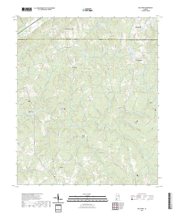
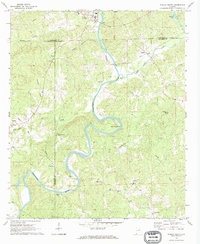
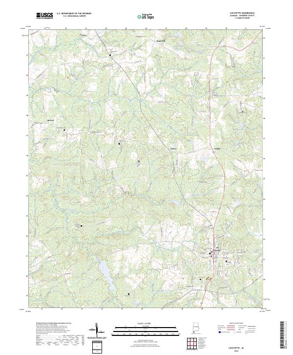
2024 Map of Milltown
USGS Topo · Published 2024This historical map portrays the area of Milltown in 2024, primarily covering Chambers County as well as portions of Randolph County. Featuring a scale of 1:24000, this map provides a highly detailed snapshot of the terrain, roads, buildings, counties, and historical landmarks in the Milltown region at the time. Published in 2024, it is the sole known edition of this map.
Map Details
Editions of this 2024 Milltown Map
This is the sole edition of this map. No revisions or reprints were ever made.
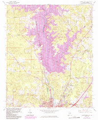
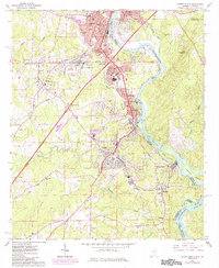
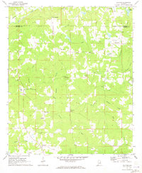
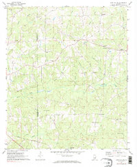
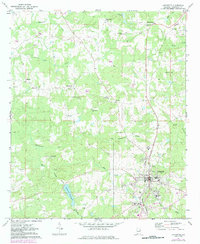
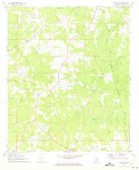
Historical Maps of Pooles Crossroad Through Time
17 maps found
1964 Lanett North
Chambers County, AL
1964 Lanett South
Chambers County, AL
1969 Milltown
Chambers County, AL
1969 Wadley South
Chambers County, AL
1971 Camp Hill SE
Chambers County, AL

1971 Dudleyville
Chambers County, AL
1971 Lafayette
Chambers County, AL
1971 Moorefield
Chambers County, AL
1981 Camp Hill SE
Chambers County, AL
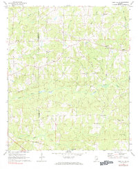
2024 Camp Hill SE
Chambers County, AL
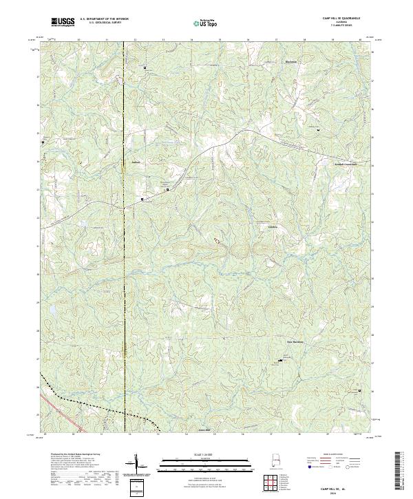
2024 Dudleyville
Chambers County, AL
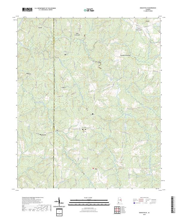
2024 Lafayette
Chambers County, AL
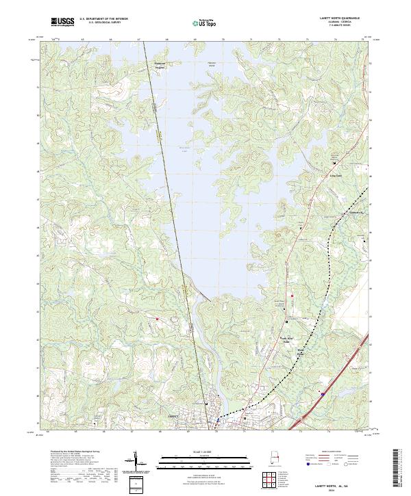
2024 Lanett North
Chambers County, AL
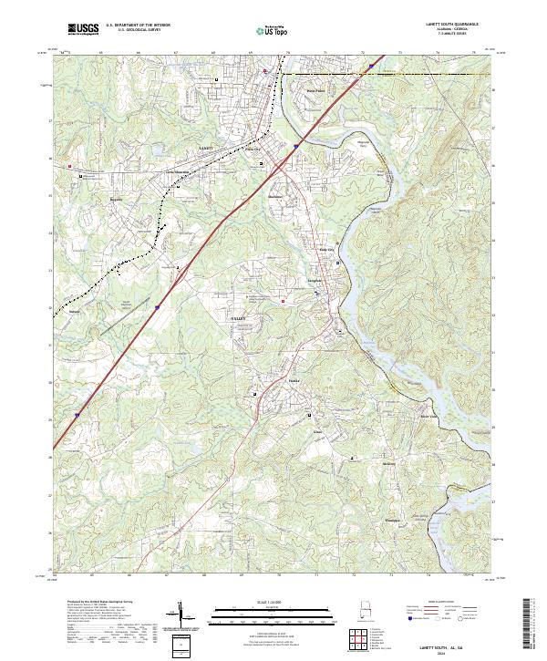
2024 Lanett South
Chambers County, AL
2024 Milltown
Chambers County, AL
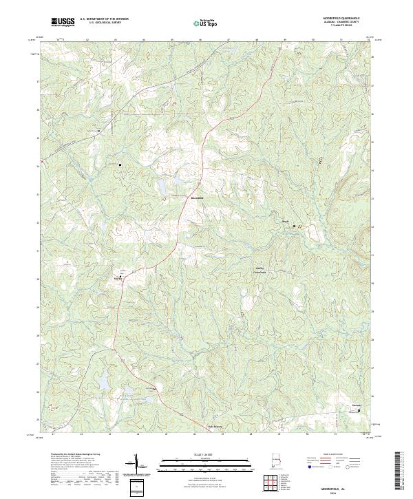
2024 Moorefield
Chambers County, AL
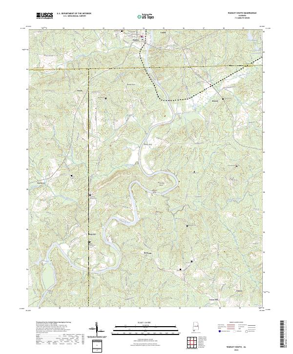
2024 Wadley South
Chambers County, AL