Loading...
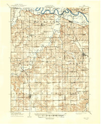
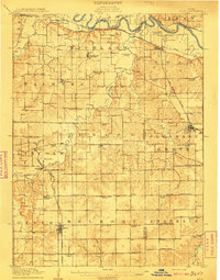
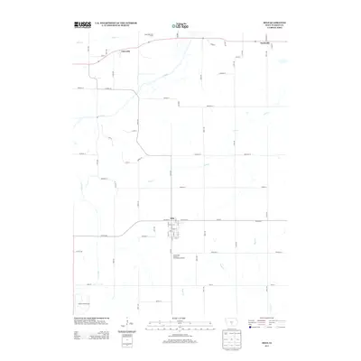
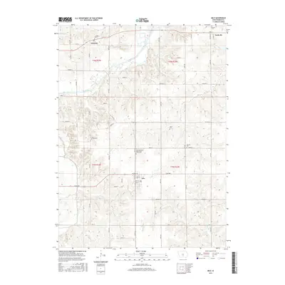
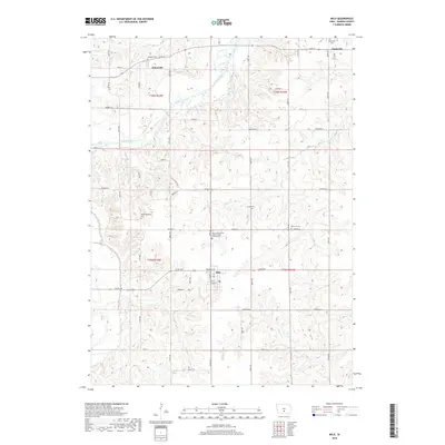
Loading map...1910 Map of Milo
USGS Topo · Published 1949About this map
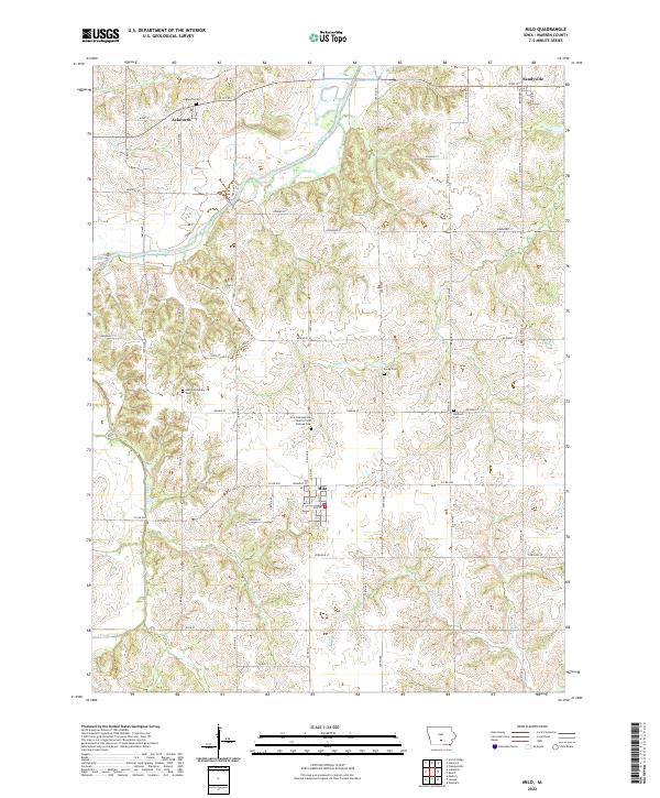
The Des Moines River winds across the northern reaches of this rural landscape, carving a wide valley where the Chicago Burlington and Quincy railroad follows the river's northern bank. This early twentieth-century survey reveals a highly organized township system, where every few miles a community schoolhouse served the local farmsteads. Dozens of these rural institutions are identified, including Goose Hill School, Butcher Creek School, and Linn Grove School.
Find a feature on this map
80 named features on this map. Tap any name to fly to it.
Don’t see what you’re looking for? This feature index may not catch every label — zoom into the map to look around manually.
Map Details
Date Portrayed1910
Date Published1949
PublisherU.S. Geological Survey
Map TypeTopographic
Scale1:62,500
Physical Dimensions17.1 x 20.9 inches
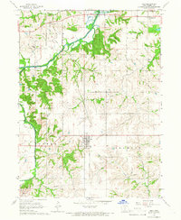
Editions of this 1910 Milo Map
2 editions found
Historical Maps of Carlisle Through Time
7 maps found
Featured Locations
- Carlisle, IA
- Milo, IA
- Pleasantville, Pleasant Grove Township
- Ackworth, Lincoln Township
- Hartford, Richland Township
Source Details
SourceU.S. Geological Survey
CopyrightPublic Domain