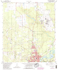
1978 Map of Milton North
USGS Topo · Published 1987About this map
Milton and its northern surroundings appear here during a period of transition as the city expanded northward toward the military installations of Santa Rosa County. The landscape is anchored by the U S Naval Station Whiting Field, which dominates the northern half of the sheet with its distinct North Field and South Field runways. Connecting this military hub to the broader regional network is the U S Government Railroad, which cuts across the terrain toward the Blackwater River.
Find a feature on this map
60 named features on this map. Tap any name to fly to it.
Don’t see what you’re looking for? This feature index may not catch every label — zoom into the map to look around manually.
Map Details
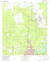
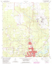
Editions of this 1978 Milton North Map
3 editions found
Other maps of this area

1920 · Milton
USGS Topo · 1:62,500

1934 · Harold
USGS Topo · 1:62,500

1937 · Harold
USGS Topo · 1:62,500

1938 · Harold
USGS Topo · 1:62,500

1941 · Milton
USGS Topo · 1:62,500

1943 · Milton
USGS Topo · 1:62,500

1943 · Jay
USGS Topo · 1:62,500
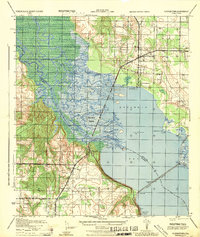
1944 · Floridatown
USGS Topo · 1:25,000

1948 · Munson
USGS Topo · 1:62,500

1950 · Munson
USGS Topo · 1:62,500