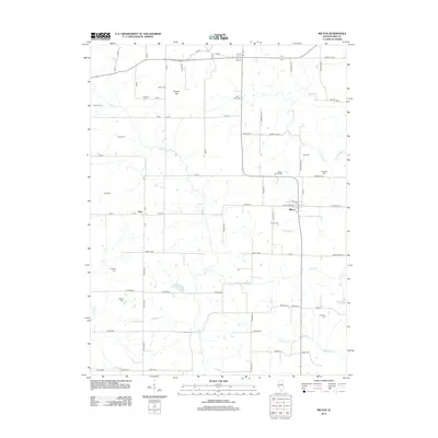
2012 Map of Milton
USGS Topo · Published 2012About this map
The small village of Milton and the crossroads settlement of Time anchor this portion of Pike County, characterized by a dense network of family and community burial grounds. Genealogists will find a significant concentration of historical sites, including Milton Smith Cem, Time Cem, and the Blue River Cem, which reflect the long-standing agricultural roots of the region. The landscape is defined by the drainage of Bay Cr and Little Blue Cr, with Calvert Hill providing a notable point of elevation among the farm-to-market roads.
Find a feature on this map
63 named features on this map. Tap any name to fly to it.
Don’t see what you’re looking for? This feature index may not catch every label — zoom into the map to look around manually.
Map Details
Editions of this 2012 Milton Map
This is the sole edition of this map. No revisions or reprints were ever made.
Other maps of this area

1924 · Griggsville
USGS Topo · 1:62,500

1926 · Griggsville
USGS Topo · 1:62,500

1926 · Pittsfield
USGS Topo · 1:62,500

1930 · Pearl
USGS Topo · 1:62,500

1930 · Nebo
USGS Topo · 1:62,500

1934 · Nebo
USGS Topo · 1:48,000

1942 · Nebo
USGS Topo · 1:62,500

1948 · Quincy
USGS Topo · 1:250,000

1950 · Pearl
USGS Topo · 1:62,500

1956 · Quincy
USGS Topo · 1:250,000