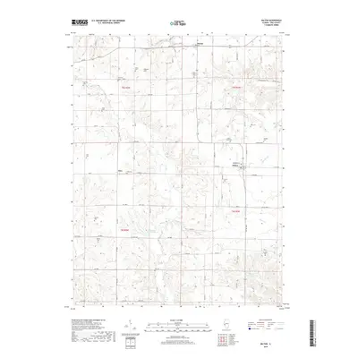
2018 Map of Milton
USGS Topo · Published 2018About this map
Milton and the surrounding townships in Pike County are defined by a complex network of creeks and small family burial grounds. The terrain is deeply carved by waterways such as Bay Creek, Little Blue Creek, and Buckhorn Creek, which have dictated the placement of rural roads like County Highway 8 and 250th Avenue. The distribution of cemeteries across this landscape, including the Milton Smith Cemetery, Douglas Cemetery, and Thurman Cemetery, provides significant data for genealogical research, anchoring family histories to specific ridges and hollows.
Find a feature on this map
64 named features on this map. Tap any name to fly to it.
Don’t see what you’re looking for? This feature index may not catch every label — zoom into the map to look around manually.
Map Details
Editions of this 2018 Milton Map
This is the sole edition of this map. No revisions or reprints were ever made.
Other maps of this area

1924 · Griggsville
USGS Topo · 1:62,500

1926 · Griggsville
USGS Topo · 1:62,500

1926 · Pittsfield
USGS Topo · 1:62,500

1930 · Pearl
USGS Topo · 1:62,500

1930 · Nebo
USGS Topo · 1:62,500

1934 · Nebo
USGS Topo · 1:48,000

1942 · Nebo
USGS Topo · 1:62,500

1948 · Quincy
USGS Topo · 1:250,000

1950 · Pearl
USGS Topo · 1:62,500

1956 · Quincy
USGS Topo · 1:250,000