2024 Map of Milton
USGS Topo · Published 2024About this map
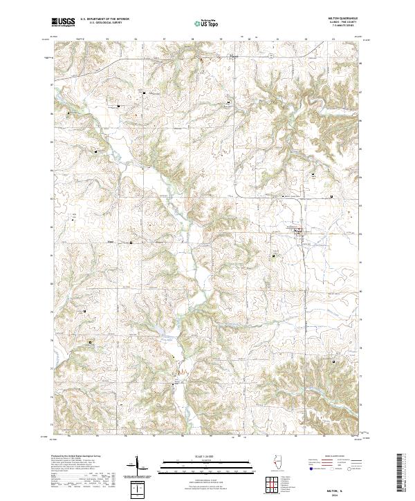
The Pike County village of Milton serves as a focal point for this survey, situated at the intersection of a grid-like network of rural township roads and county highways. The landscape is characterized by its agricultural character and the dissected terrain surrounding watercourses such as Bay Creek and Little Blue Creek. For genealogists and local historians, the area is notably dense with burial grounds, ranging from larger sites like Time-Gem Cem near the settlement of Time to more secluded locations such as the Cox Family Cem and Howland Cem. The northern portion of the map features the community of Detroit and the topographic prominence of Calvert Hill, offering a view of the region's established rural settlement patterns. Local landmarks like Columbia Farm Pond and Chandler Pond indicate the importance of water management in this farming-oriented interior of Illinois.
Find a feature on this map
82 named features on this map. Tap any name to fly to it.
Don’t see what you’re looking for? This feature index may not catch every label — zoom into the map to look around manually.
Map Details
Editions of this 2024 Milton Map
This is the sole edition of this map. No revisions or reprints were ever made.