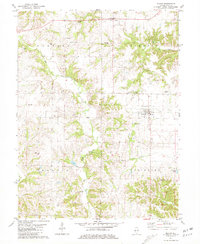
1981 Map of Milton
USGS Topo · Published 1981About this map
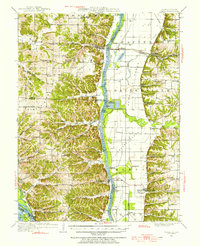
Milton and Detroit anchor this detailed 1981 study of central Pike County, where the landscape is defined by the winding course of Bay Creek and its many tributaries. The area is notable for its high density of family and community burial grounds, including Pettis Cem, Howland Cem, and Tripp Cem, providing a wealth of information for genealogists and local historians. This period shows the community infrastructure in place, centered on East Pike High Sch and East Pike Park within the village of Milton.
Find a feature on this map
31 named features on this map. Tap any name to fly to it.
Don’t see what you’re looking for? This feature index may not catch every label — zoom into the map to look around manually.
Map Details
Editions of this 1981 Milton Map
This is the sole edition of this map. No revisions or reprints were ever made.
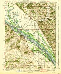
Other maps of this area

1924 · Griggsville
USGS Topo · 1:62,500

1926 · Griggsville
USGS Topo · 1:62,500
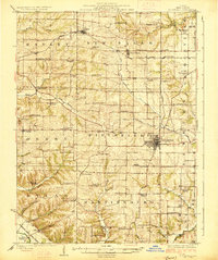
1926 · Pittsfield
USGS Topo · 1:62,500

1930 · Pearl
USGS Topo · 1:62,500

1930 · Nebo
USGS Topo · 1:62,500
1934 · Nebo
USGS Topo · 1:48,000
1942 · Nebo
USGS Topo · 1:62,500

1948 · Quincy
USGS Topo · 1:250,000
1950 · Pearl
USGS Topo · 1:62,500

1956 · Quincy
USGS Topo · 1:250,000