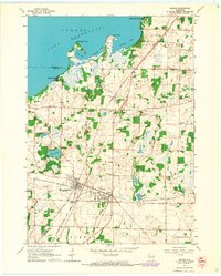
1961 Map of Milton
USGS Topo · Published 1964About this map
The sprawling shoreline of Lake Koshkonong dominates the northern reaches of this Rock County landscape, defined by prominent points like Stony Point and Thiebeau Point alongside the prehistoric Koshkonong Mounds. To the south, the dual settlements of Milton and Milton Junction serve as the industrial and residential heart of the quadrangle, where the Chicago and North Western and the Chicago Milwaukee St Paul and Pacific railroads intersect.
Find a feature on this map
43 named features on this map. Tap any name to fly to it.
Don’t see what you’re looking for? This feature index may not catch every label — zoom into the map to look around manually.
Map Details
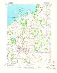
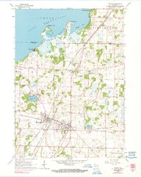
Editions of this 1961 Milton Map
3 editions found
Other maps of this area

1890 · Stoughton
USGS Topo · 1:62,500

1891 · Koshkonong
USGS Topo · 1:62,500

1891 · Janesville
USGS Topo · 1:62,500

1893 · Janesville
USGS Topo · 1:62,500

1893 · Shopiere
USGS Topo · 1:62,500

1894 · Koshkonong
USGS Topo · 1:62,500

1906 · Koshkonong
USGS Topo · 1:62,500

1954 · Rockford
USGS Topo · 1:250,000

1955 · Rockford
USGS Topo · 1:250,000

1958 · Rockford
USGS Topo · 1:250,000