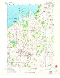
1961 Map of Milton
USGS Topo · Published 1972About this map
The rail junctions of Milton Junction and Milton form a central hub in this Southern Wisconsin landscape, where the Chicago and North Western and Chicago Milwaukee St Paul and Pacific railroads intersect. To the north, the expansive Lake Koshkonong dominates the horizon, bordered by the Koshkonong Mounds and Charlie Bluff. The 1961 survey, updated with 1971 photorevisions, shows a rural landscape dotted with small neighborhood landmarks like the North Milton Sch, Rock River Sch, and Otter Creek Sch. Significant wetland features such as the Cranberry Marsh and several small kettle lakes including Clear Lake, Grass Lake, and Storrs Lake highlight the area's glacial geography. The map also records the location of local burial grounds like Rock River Cem and Otter Creek Cem, essential for genealogical research in Rock and Jefferson counties.
Find a feature on this map
44 named features on this map. Tap any name to fly to it.
Don’t see what you’re looking for? This feature index may not catch every label — zoom into the map to look around manually.
Map Details
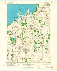
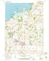
Editions of this 1961 Milton Map
3 editions found
Other maps of this area

1890 · Stoughton
USGS Topo · 1:62,500

1891 · Koshkonong
USGS Topo · 1:62,500

1891 · Janesville
USGS Topo · 1:62,500

1893 · Janesville
USGS Topo · 1:62,500

1893 · Shopiere
USGS Topo · 1:62,500

1894 · Koshkonong
USGS Topo · 1:62,500

1906 · Koshkonong
USGS Topo · 1:62,500

1954 · Rockford
USGS Topo · 1:250,000

1955 · Rockford
USGS Topo · 1:250,000

1958 · Rockford
USGS Topo · 1:250,000