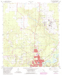
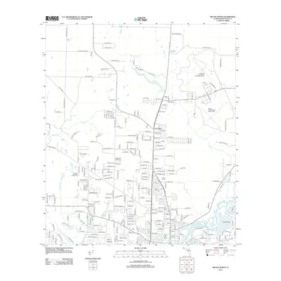
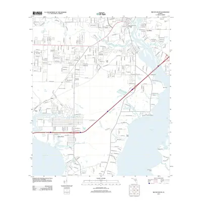
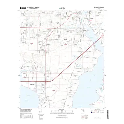
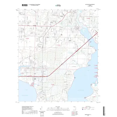
1978 Map of Milton South
USGS Topo · Published 1987About this map
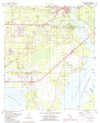
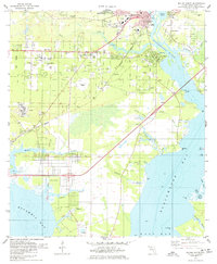
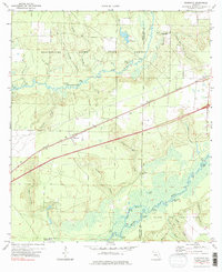
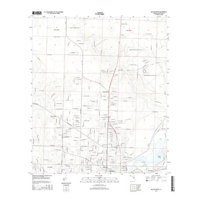
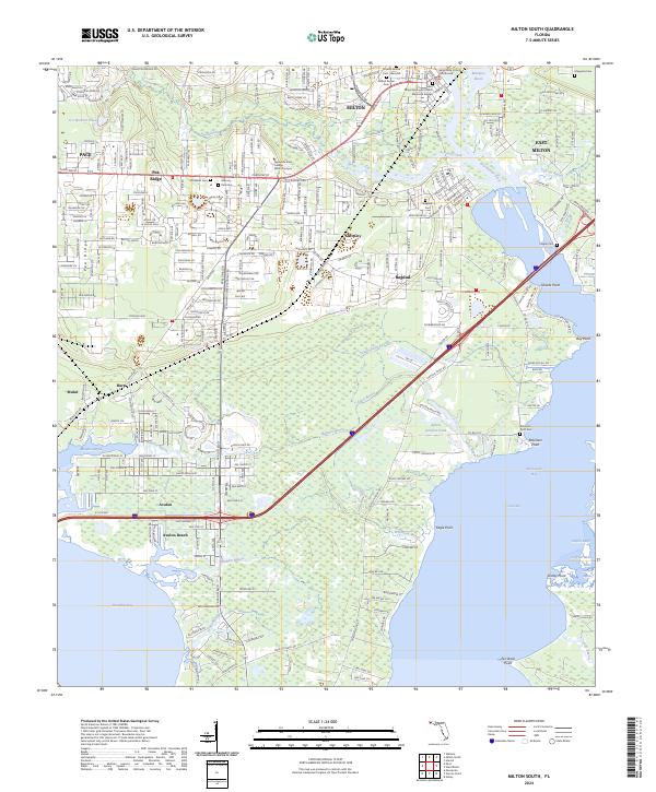
Milton and its neighboring riverfront settlements sit at the convergence of the Blackwater River and several expansive bays in this late-twentieth-century study. The landscape reflects a mix of traditional industry and modern expansion, from the historic waterfront of Bagdad to the newer developments at Avalon Beach and Mulat. Significant infrastructure includes the CSX rail line and the sprawling U S Naval Reservation north of Galt City. Local history is preserved through numerous community anchors like Pea Ridge Ch, Wilson Mem Ch, and several burial grounds including Milton Cem and Magnolia Cem. An Abandoned Airfield near the center of the sheet and various Sandpits suggest a changing economic use of the land, while the southern reaches are dominated by the Yellow River Marsh Aquatic Preserve and the tidal waters of Blackwater Bay.
Find a feature on this map
69 named features on this map. Tap any name to fly to it.
Don’t see what you’re looking for? This feature index may not catch every label — zoom into the map to look around manually.
Map Details
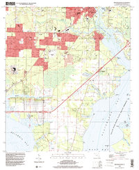
Editions of this 1978 Milton South Map
2 editions found
Historical Maps of Milton Through Time
50 maps found
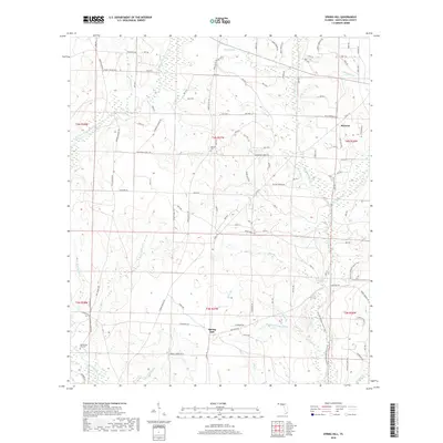
1970 Harold SE
Santa Rosa County, FL
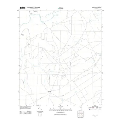
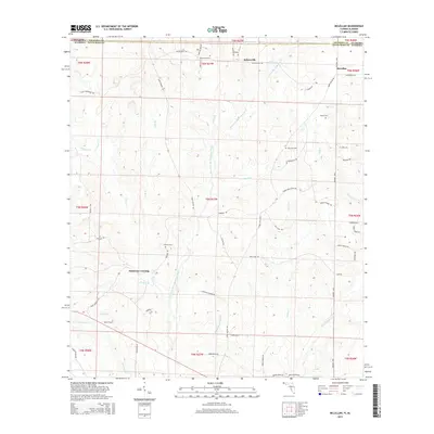
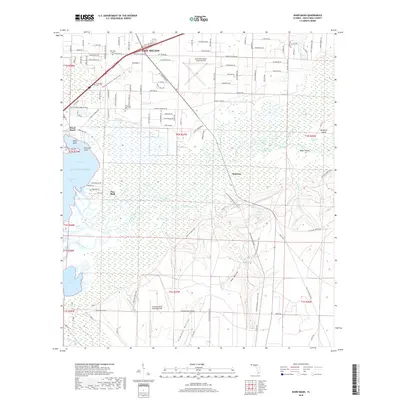
1970 Ward Basin
Santa Rosa County, FL
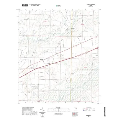
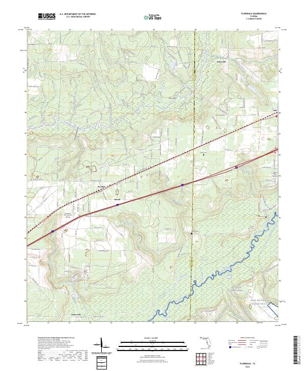
1973 Floridale
Santa Rosa County, FL
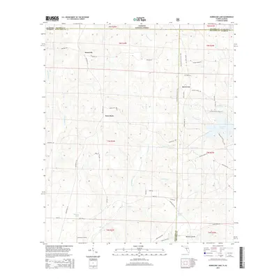
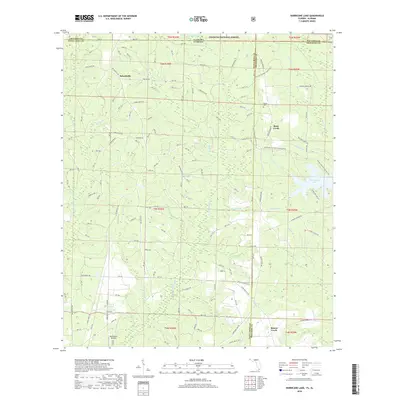
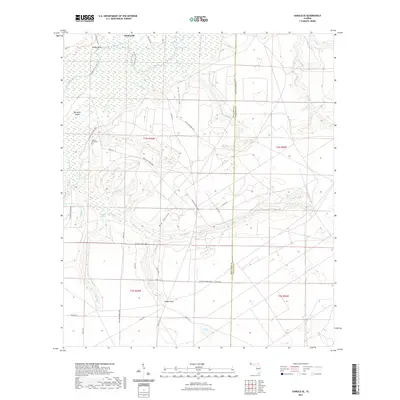
1973 Hurricane Lake
Santa Rosa County, FL
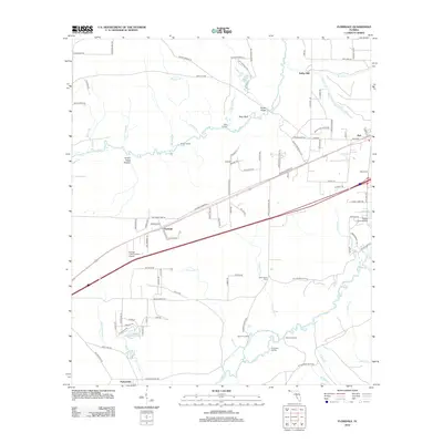
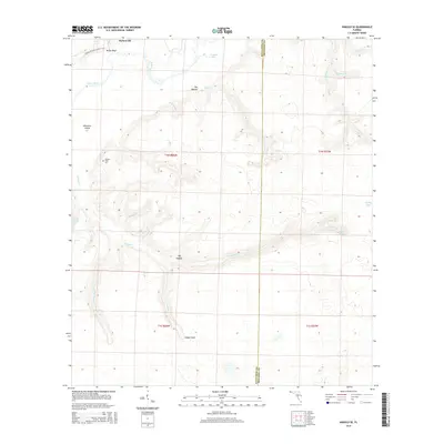
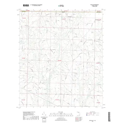
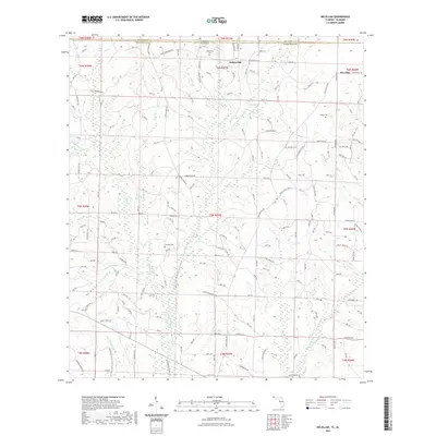
1973 McLellan
Santa Rosa County, FL
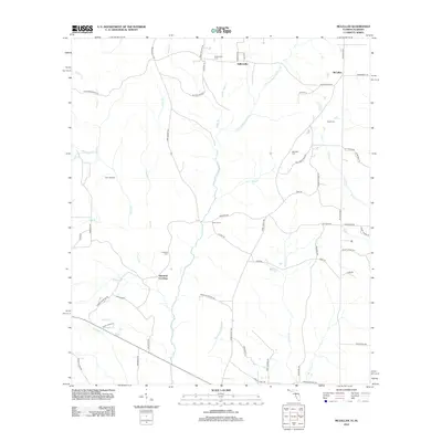
1973 Spring Hill
Santa Rosa County, FL
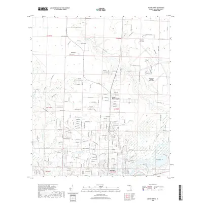
1978 Milton North
Santa Rosa County, FL
1978 Milton South
Santa Rosa County, FL
1994 Milton South
Santa Rosa County, FL
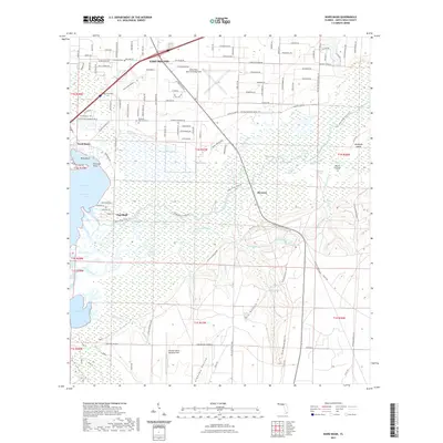
1994 Ward Basin
Santa Rosa County, FL
2011 Hurricane Lake
Santa Rosa County, FL
2012 Floridale
Santa Rosa County, FL
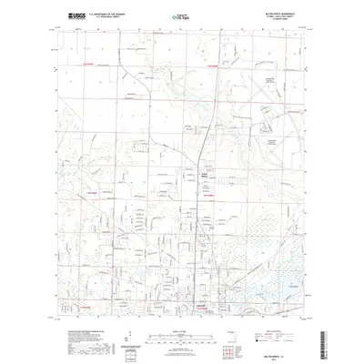
2012 Harold SE
Santa Rosa County, FL
2012 McLellan
Santa Rosa County, FL
2012 Milton North
Santa Rosa County, FL
2012 Milton South
Santa Rosa County, FL
2012 Spring Hill
Santa Rosa County, FL
2012 Ward Basin
Santa Rosa County, FL
2015 Floridale
Santa Rosa County, FL
2015 Harold SE
Santa Rosa County, FL
2015 Hurricane Lake
Santa Rosa County, FL
2015 McLellan
Santa Rosa County, FL
2015 Milton North
Santa Rosa County, FL
2015 Milton South
Santa Rosa County, FL
2015 Spring Hill
Santa Rosa County, FL
2015 Ward Basin
Santa Rosa County, FL
2018 Floridale
Santa Rosa County, FL

2018 Harold SE
Santa Rosa County, FL
2018 Hurricane Lake
Santa Rosa County, FL
2018 McLellan
Santa Rosa County, FL
2018 Milton North
Santa Rosa County, FL
2018 Milton South
Santa Rosa County, FL
2018 Spring Hill
Santa Rosa County, FL
2018 Ward Basin
Santa Rosa County, FL
2021 Floridale
Santa Rosa County, FL
2021 Harold SE
Santa Rosa County, FL

2021 Hurricane Lake
Santa Rosa County, FL
2021 McLellan
Santa Rosa County, FL
2021 Milton North
Santa Rosa County, FL

2021 Milton South
Santa Rosa County, FL

2021 Spring Hill
Santa Rosa County, FL
2021 Ward Basin
Santa Rosa County, FL
2024 Floridale
Santa Rosa County, FL
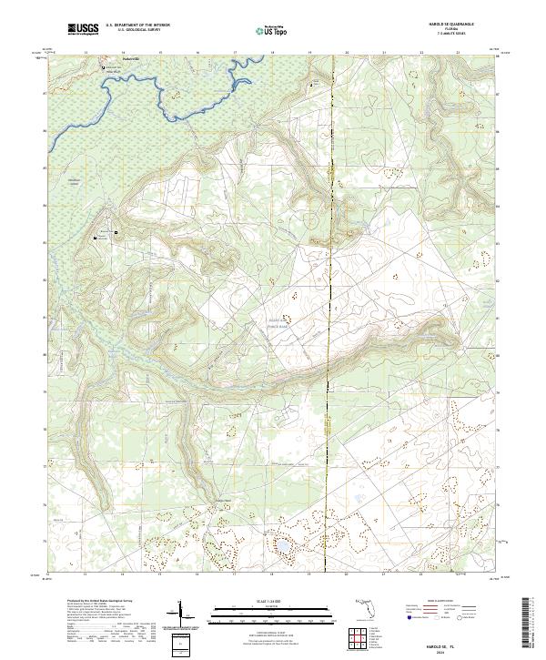
2024 Harold SE
Santa Rosa County, FL
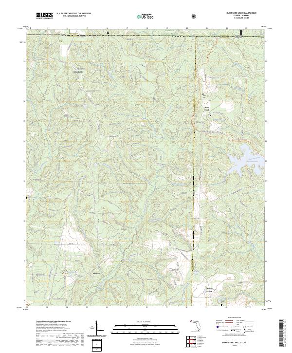
2024 Hurricane Lake
Santa Rosa County, FL
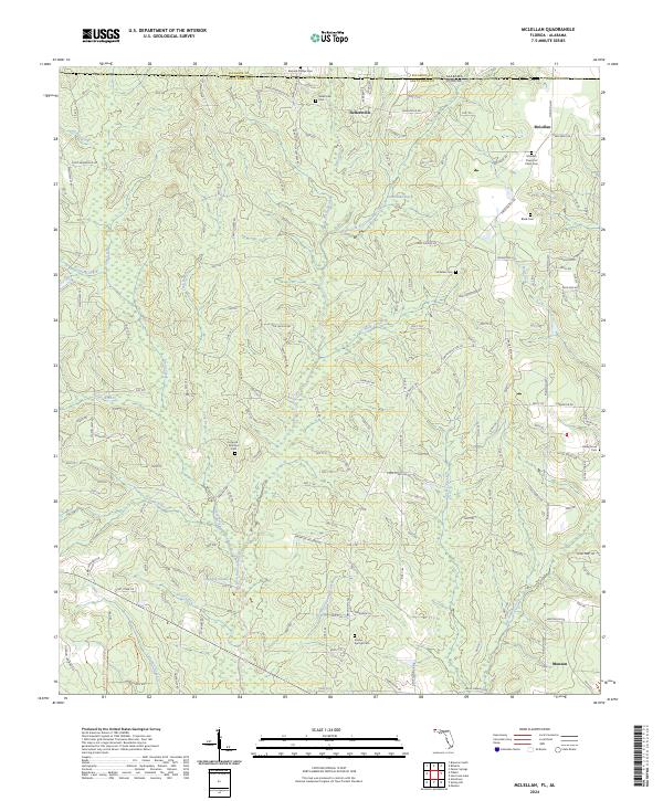
2024 McLellan
Santa Rosa County, FL
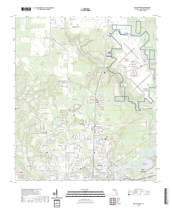
2024 Milton North
Santa Rosa County, FL
2024 Milton South
Santa Rosa County, FL
2024 Spring Hill
Santa Rosa County, FL
2024 Ward Basin
Santa Rosa County, FL