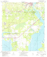
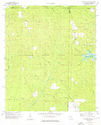
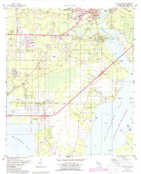
1978 Map of Milton South
USGS Topo · Published 1978This historical map portrays the area of Milton South in 1978, primarily covering Santa Rosa County as well as portions of Escambia County. Featuring a scale of 1:24000, this map provides a highly detailed snapshot of the terrain, roads, buildings, counties, and historical landmarks in the Milton South region at the time. Published in 1978, it is one of 2 known editions of this map due to revisions or reprints.
Find a feature on this map
63 named features on this map. Tap any name to fly to it.
Don’t see what you’re looking for? This feature index may not catch every label — zoom into the map to look around manually.
Map Details
Editions of this 1978 Milton South Map
2 editions found
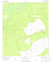
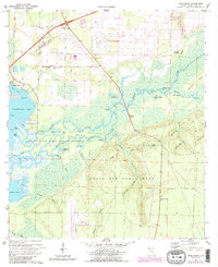
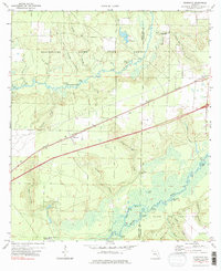
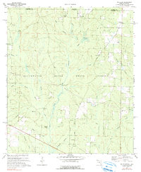
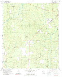
Historical Maps of Harp Through Time
10 maps found
1970 Harold SE
Santa Rosa County, FL
1970 Ward Basin
Santa Rosa County, FL
1973 Floridale
Santa Rosa County, FL
1973 Hurricane Lake
Santa Rosa County, FL
1973 McLellan
Santa Rosa County, FL
1973 Spring Hill
Santa Rosa County, FL
1978 Milton North
Santa Rosa County, FL
1978 Milton South
Santa Rosa County, FL
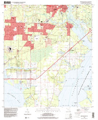
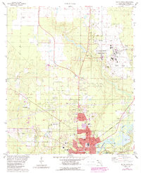
1994 Milton South
Santa Rosa County, FL
1994 Ward Basin
Santa Rosa County, FL