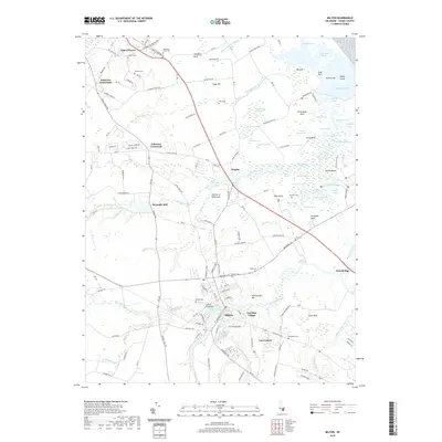
2019 Map of Milton
USGS Topo · Published 2019About this map
The Broadkill River winds through this coastal Delaware landscape, anchoring the historic town of Milton. The map reveals a dense network of water bodies and wetlands characteristic of the Delmarva Peninsula, including Wagamons Pond and the extensive Broken Marshes to the east. Local history is preserved in the numerous family and community burial grounds such as Hazzard Cem, Bethel Cem, and Siloam Cem, which are scattered among agricultural crossroads like Argo Corners and Jefferson Crossroads.
Find a feature on this map
124 named features on this map. Tap any name to fly to it.
Don’t see what you’re looking for? This feature index may not catch every label — zoom into the map to look around manually.
Map Details
Editions of this 2019 Milton Map
This is the sole edition of this map. No revisions or reprints were ever made.
Other maps of this area

1917 · Millsboro
USGS Topo · 1:62,500

1918 · Cedar Creek
USGS Topo · 1:62,500

1918 · Rehoboth
USGS Topo · 1:62,500

1918 · Cape Henlopen
USGS Topo · 1:62,500

1919 · Cedar Creek
USGS Topo · 1:62,500

1937 · Cape Henlopen
USGS Topo · 1:62,500

1938 · Cedar Creek
USGS Topo · 1:62,500

1938 · Millsboro
USGS Topo · 1:62,500

1938 · Rehoboth
USGS Topo · 1:62,500

1943 · Fairmount
USGS Topo · 1:24,000