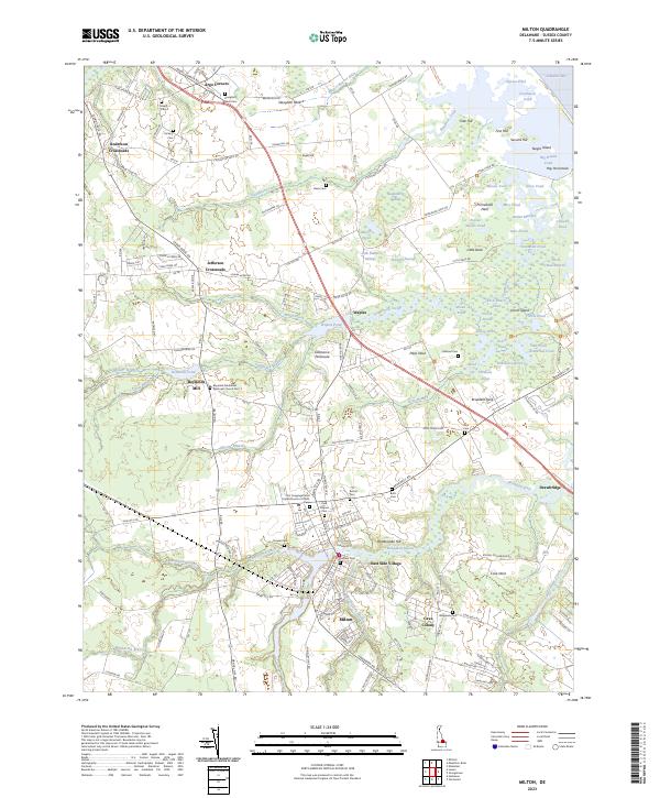
2023 Map of Milton
USGS Topo · Published 2023About this map
Milton and the surrounding coastal plains of Sussex County are defined by a complex network of wetlands and tidal waters where the Broadkill River and Slaughter Creek approach the Delaware Bay. The landscape is a mosaic of family-named landmarks and old crossroads, including Argo Corners, Jefferson Crossroads, and Anderson Crossroads. These small settlements are often anchored by long-standing religious and fraternal sites such as Reynolds Methodist Episcopal Church Cem and the Odd Fellows Cem.
Find a feature on this map
182 named features on this map. Tap any name to fly to it.
Don’t see what you’re looking for? This feature index may not catch every label — zoom into the map to look around manually.
Map Details
Editions of this 2023 Milton Map
This is the sole edition of this map. No revisions or reprints were ever made.
Other maps of this area

1917 · Millsboro
USGS Topo · 1:62,500

1918 · Cedar Creek
USGS Topo · 1:62,500

1918 · Rehoboth
USGS Topo · 1:62,500

1918 · Cape Henlopen
USGS Topo · 1:62,500

1919 · Cedar Creek
USGS Topo · 1:62,500

1937 · Cape Henlopen
USGS Topo · 1:62,500

1938 · Cedar Creek
USGS Topo · 1:62,500

1938 · Millsboro
USGS Topo · 1:62,500

1938 · Rehoboth
USGS Topo · 1:62,500

1943 · Fairmount
USGS Topo · 1:24,000