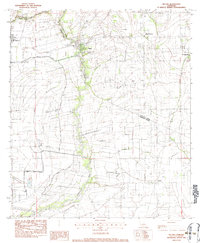
1983 Map of Milton
USGS Topo · Published 1983About this map
The Vermilion River meanders through this landscape, serving as the primary boundary between Lafayette Parish and Vermilion Parish. During the early 1980s, the region was defined by a network of drainage and irrigation infrastructure, including the Main Canal, Steiner Canal, and Prejean Canal. These waterways supported the agricultural character of communities like Milton, Youngsville, and the smaller settlement of New Flanders.
Find a feature on this map
21 named features on this map. Tap any name to fly to it.
Don’t see what you’re looking for? This feature index may not catch every label — zoom into the map to look around manually.
Map Details
Editions of this 1983 Milton Map
2 editions found
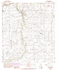
Other maps of this area

1932 · Abbeville NE
USGS Topo · 1:31,680

1932 · Abbeville NW
USGS Topo · 1:31,680

1934 · Duson
USGS Topo · 1:31,680

1937 · Derouen
USGS Topo · 1:62,500

1939 · St. Martinsville
USGS Topo · 1:62,500

1945 · New Orleans
USGS Topo · 1:250,000

1946 · Milton
USGS Topo · 1:31,680

1946 · Leroy
USGS Topo · 1:31,680

1946 · Lafayette
USGS Topo · 1:31,680

1952 · Lake Charles
USGS Topo · 1:250,000