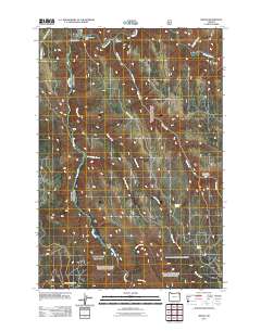
2011 Map of Minam
USGS Topo · Published 2011About this map
The confluence of the Wallowa River and the Minam River defines this corner of Northeast Oregon, where the settlement of Minam serves as a small waypoint for those navigating the river corridors. The landscape is carved by significant drainage systems including Big Canyon, Skylight Canyon, and Deer Creek, which flow through steep topography toward the primary rivers. The presence of the Big Canyon Fish Weir near the river junction highlights the region's importance for local aquatic management. To the south, Meads Flat offers a rare break in the canyon terrain near the winding path of the Minam. Infrastructure is focused on narrow access routes like Smith Mountain Rd and Big Canyon Rd, while industrial activity is represented by the North Fork Gravel Pit situated along the lower western slopes.
Find a feature on this map
19 named features on this map. Tap any name to fly to it.
Don’t see what you’re looking for? This feature index may not catch every label — zoom into the map to look around manually.
Map Details
Editions of this 2011 Minam Map
This is the sole edition of this map. No revisions or reprints were ever made.
Other maps of this area

1906 · Telocaset
USGS Topo · 1:125,000

1955 · Grangeville
USGS Topo · 1:250,000

1959 · Grangeville
USGS Topo · 1:250,000

1964 · Howard Butte
USGS Topo · 1:24,000

1964 · Akers Butte
USGS Topo · 1:24,000

1964 · Cricket Flat
USGS Topo · 1:24,000

1964 · Wallowa
USGS Topo · 1:24,000

1964 · Minam
USGS Topo · 1:24,000

1964 · Rondowa
USGS Topo · 1:24,000

1965 · Fox Point
USGS Topo · 1:24,000