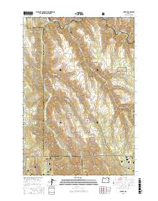
2017 Map of Minam
USGS Topo · Published 2017About this map
The settlement of Minam sits at the northern edge of this landscape where the Minam River joins the Wallowa River. This area represents a significant intersection of protected lands, as the Whitman National Forest and Wallowa National Forest converge here, punctuated by the Irrigon Fish Hatchery along the river banks. The terrain is defined by high-elevation features such as Cougar Ridge and High Ridge, which overlook deep carvings in the earth like Big Canyon and Skylight Canyon. This geography reflects a managed wilderness where early water sources like Chestnut Spring and Alder Spring remain vital markers. The map details a network of forest development roads, including Nat For Dev Rd 8270, which navigate the complex topography between the river valleys and the level expanse of Meads Flat.
Find a feature on this map
23 named features on this map. Tap any name to fly to it.
Don’t see what you’re looking for? This feature index may not catch every label — zoom into the map to look around manually.
Map Details
Editions of this 2017 Minam Map
This is the sole edition of this map. No revisions or reprints were ever made.
Other maps of this area

1906 · Telocaset
USGS Topo · 1:125,000

1955 · Grangeville
USGS Topo · 1:250,000

1959 · Grangeville
USGS Topo · 1:250,000

1964 · Howard Butte
USGS Topo · 1:24,000

1964 · Akers Butte
USGS Topo · 1:24,000

1964 · Cricket Flat
USGS Topo · 1:24,000

1964 · Wallowa
USGS Topo · 1:24,000

1964 · Minam
USGS Topo · 1:24,000

1964 · Rondowa
USGS Topo · 1:24,000

1965 · Fox Point
USGS Topo · 1:24,000