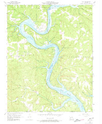
1956 Map of Mincy
USGS Topo · Published 1974About this map
Bull Shoals Lake dominates this Ozark landscape in the mid-1950s, its impounded waters snaking through the deeply incised valleys of the White River and its numerous tributaries. The settlement of Mincy serves as a focal point for the surrounding highlands, where small rural congregations like Mt Olive Ch and Bald Knob Ch dot the ridges. The terrain is characterized by steep-sided hollows such as Wolf Hollow and John Hollow, reflecting a traditional Ozark drainage pattern that persisted even as the new reservoir transformed the river valley below.
Find a feature on this map
37 named features on this map. Tap any name to fly to it.
Don’t see what you’re looking for? This feature index may not catch every label — zoom into the map to look around manually.
Map Details
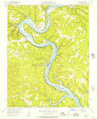
Editions of this 1956 Mincy Map
2 editions found
Other maps of this area

1893 · Yellville
USGS Topo · 1:125,000

1903 · Yellville
USGS Topo · 1:125,000

1904 · Harrison
USGS Topo · 1:125,000

1905 · Harrison
USGS Topo · 1:125,000

1905 · Yellville
USGS Topo · 1:125,000

1907 · Forsyth
USGS Topo · 1:125,000

1929 · Yellville
USGS Topo · 1:125,000

1943 · Protem
USGS Topo · 1:62,500

1945 · Harrison
USGS Topo · 1:250,000

1949 · Harrison
USGS Topo · 1:250,000