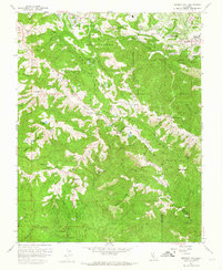
1961 Map of Mindego Hill
USGS Topo · Published 1964About this map
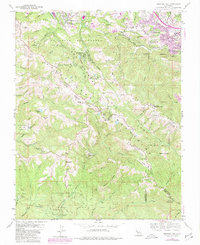
The San Andreas Fault Zone defines the structural orientation of this Santa Cruz Mountains landscape, carving a deep northwest-southeast trench that separates the ridge systems. High peaks like Mindego Hill and Black Mountain overlook a complex network of private ranches and institutional lands, including the San Francisco Log Cabin Boys School and the Mt Helen Childrens Home. The presence of several named holdings such as Pony Tracks Ranch, Skyline Ranch, and Horseshoe Ranch illustrates the transition of these uplands from traditional agricultural use toward recreational and residential estates.
Find a feature on this map
69 named features on this map. Tap any name to fly to it.
Don’t see what you’re looking for? This feature index may not catch every label — zoom into the map to look around manually.
Map Details
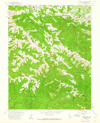
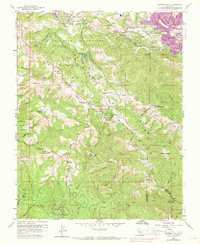
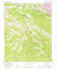
Editions of this 1961 Mindego Hill Map
5 editions found
Other maps of this area

1897 · Palo Alto
USGS Topo · 1:62,500

1899 · Palo Alto
USGS Topo · 1:62,500

1902 · Santa Cruz
USGS Topo · 1:125,000

1940 · Halfmoon Bay
USGS Topo · 1:62,500

1940 · Ano Nuevo
USGS Topo · 1:62,500

1941 · Ano Nuevo Pt.
USGS Topo · 1:62,500

1941 · Palo Alto
USGS Topo · 1:62,500

1942 · Ano Nuevo
USGS Topo · 1:62,500

1943 · Palo Alto
USGS Topo · 1:62,500

1943 · Halfmoon Bay
USGS Topo · 1:62,500