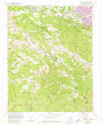
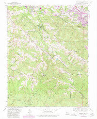
1961 Map of Mindego Hill
USGS Topo · Published 1976About this map
The San Andreas Rift Zone creates a dramatic northwest-southeast corridor across this portion of the Santa Cruz Mountains, influencing the drainage of Corte Madera Creek and Los Trancos Creek. Settlement patterns show a distinct contrast between the developing residential areas of Portola Valley and Los Altos Hills in the north and the heavily wooded, rural landscapes to the south. The map documents several legacy land holdings and institutions, including the San Francisco Log Cabin Boys School and several family-named properties like Skyline Ranch and Horseshoe Ranch. To the south, Portola State Park preserves the watershed around Pescadero Creek, while higher elevations feature remote facilities such as the Saratoga Summit Ranger Station and a Radio Facility atop Borel Hill.
Find a feature on this map
69 named features on this map. Tap any name to fly to it.
Don’t see what you’re looking for? This feature index may not catch every label — zoom into the map to look around manually.
Map Details
Editions of this 1961 Mindego Hill Map
5 editions found
Other maps of this area

1897 · Palo Alto
USGS Topo · 1:62,500

1899 · Palo Alto
USGS Topo · 1:62,500

1902 · Santa Cruz
USGS Topo · 1:125,000

1940 · Halfmoon Bay
USGS Topo · 1:62,500

1940 · Ano Nuevo
USGS Topo · 1:62,500

1941 · Ano Nuevo Pt.
USGS Topo · 1:62,500

1941 · Palo Alto
USGS Topo · 1:62,500

1942 · Ano Nuevo
USGS Topo · 1:62,500

1943 · Palo Alto
USGS Topo · 1:62,500

1943 · Halfmoon Bay
USGS Topo · 1:62,500