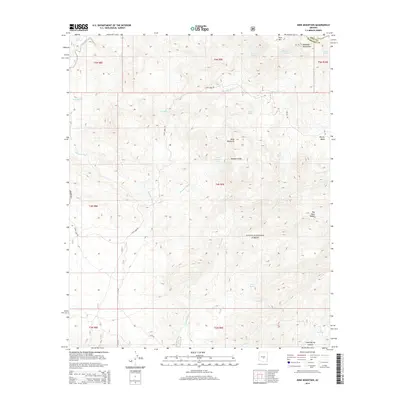
2014 Map of Mine Mountain
USGS Topo · Published 2014About this map
Tonto National Forest defines this high-elevation landscape, where the Mazatzal Mountains rise in the northeast corner at the Maricopa and Gila County line. The topography is characterized by dramatic elevation changes, most notably at the Malpais Cliffs and along the flanks of Mine Mountain. The distribution of water sources, such as Coyote Spring, Willow Spring, and Mine Mountain Spring, highlights the critical nature of these desert water points for both livestock and wildlife in a region cut by ephemeral drainages like Mesquite Wash and Cottonwood Cr.
Find a feature on this map
32 named features on this map. Tap any name to fly to it.
Don’t see what you’re looking for? This feature index may not catch every label — zoom into the map to look around manually.
Map Details
Editions of this 2014 Mine Mountain Map
This is the sole edition of this map. No revisions or reprints were ever made.
Other maps of this area

1904 · Ft. McDowell
USGS Topo · 1:62,500

1906 · Ft. McDowell
USGS Topo · 1:62,500

1907 · Roosevelt
USGS Topo · 1:125,000

1909 · Four Peaks
USGS Topo · 1:125,000

1912 · Roosevelt
USGS Topo · 1:125,000

1930 · Cave Creek
USGS Topo · 1:125,000

1939 · Cave Creek
USGS Topo · 1:125,000

1954 · Mesa
USGS Topo · 1:250,000

1957 · Mesa
USGS Topo · 1:250,000

1958 · Mesa
USGS Topo · 1:250,000