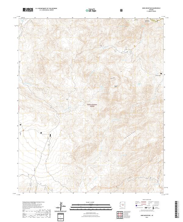
2021 Map of Mine Mountain
USGS Topo · Published 2021About this map
Mine Mtn rises as a central landmark within the Tonto National Forest, anchoring a landscape defined by dramatic elevation changes and essential water sources. This portion of the Mazatzal Mountains is marked by a network of springs, such as Mine Mountain Spring, Willow Spring, and Cold Water Spring, which historically supported movement through this arid environment. The map shows the boundary between Gila and Maricopa counties crossing the high ground near Pine Mtn.
Find a feature on this map
48 named features on this map. Tap any name to fly to it.
Don’t see what you’re looking for? This feature index may not catch every label — zoom into the map to look around manually.
Map Details
Editions of this 2021 Mine Mountain Map
This is the sole edition of this map. No revisions or reprints were ever made.
Other maps of this area

1904 · Ft. McDowell
USGS Topo · 1:62,500

1906 · Ft. McDowell
USGS Topo · 1:62,500

1907 · Roosevelt
USGS Topo · 1:125,000

1909 · Four Peaks
USGS Topo · 1:125,000

1912 · Roosevelt
USGS Topo · 1:125,000

1930 · Cave Creek
USGS Topo · 1:125,000

1939 · Cave Creek
USGS Topo · 1:125,000

1954 · Mesa
USGS Topo · 1:250,000

1957 · Mesa
USGS Topo · 1:250,000

1958 · Mesa
USGS Topo · 1:250,000