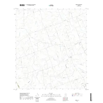
2019 Map of Mineral
USGS Topo · Published 2019About this map
Mineral stands as the central hub of this Bee County landscape, situated near the headwaters of San Domingo Cr. The settlement pattern follows a network of farm-to-market roads and county routes, including FM 623 and FM 673, which connect the scattered homesteads of this ranching and agricultural region. Of particular interest to family historians is the Mineral Cem, located south of the main community along Mineral Cemetery Rd.
Find a feature on this map
34 named features on this map. Tap any name to fly to it.
Don’t see what you’re looking for? This feature index may not catch every label — zoom into the map to look around manually.
Map Details
Editions of this 2019 Mineral Map
This is the sole edition of this map. No revisions or reprints were ever made.
Other maps of this area

1920 · Mikeska
USGS Topo · 1:125,000

1927 · Oakville
USGS Topo · 1:62,500

1936 · Pettus
USGS Topo · 1:62,500

1953 · Crystal City
USGS Topo · 1:250,000

1953 · Beeville
USGS Topo · 1:250,000

1954 · Fleming
USGS Topo · 1:62,500

1955 · Crystal City
USGS Topo · 1:250,000

1956 · Suniland
USGS Topo · 1:62,500

1956 · Beeville
USGS Topo · 1:250,000

1956 · Pettus
USGS Topo · 1:62,500