
1959 Map of Mineral Center
USGS Topo · Published 1961About this map
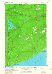
Lake Superior shorelines and the international boundary along the Pigeon River define this 1959 survey of the Arrowhead region. The settlement of Mineral Center occupies a central position inland from Red Rock and Deronda Bay, showing a landscape transitions from the coastal waters to the high elevations of Mt Sophie and Mt Maud, both of which are equipped with a Lookout Tower. The topography is heavily defined by the Grand Portage State Forest and the Grand Portage National Monument, reflecting the area's deep history as a vital fur trade corridor.
Find a feature on this map
28 named features on this map. Tap any name to fly to it.
Don’t see what you’re looking for? This feature index may not catch every label — zoom into the map to look around manually.
Map Details
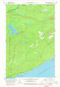
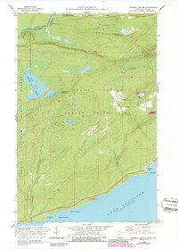
Editions of this 1959 Mineral Center Map
4 editions found
Other maps of this area

1958 · Hancock
USGS Topo · 1:250,000

1959 · Fort William
USGS Topo · 1:250,000
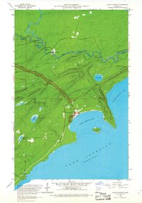
1959 · Grand Portage
USGS Topo · 1:24,000

1960 · Hancock
USGS Topo · 1:250,000
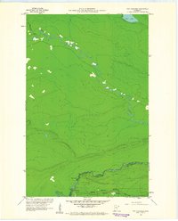
1960 · The Cascades
USGS Topo · 1:24,000
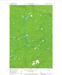
1960 · Farquhar Peak
USGS Topo · 1:24,000
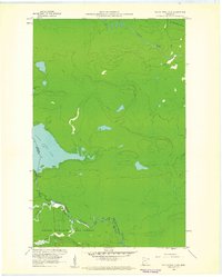
1960 · South Fowl Lake
USGS Topo · 1:24,000
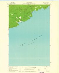
1960 · Hovland
USGS Topo · 1:24,000

1961 · Hancock
USGS Topo · 1:250,000

1966 · Hancock
USGS Topo · 1:250,000