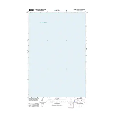
2011 Map of Mineral Center OE S
USGS Topo · Published 2011About this map
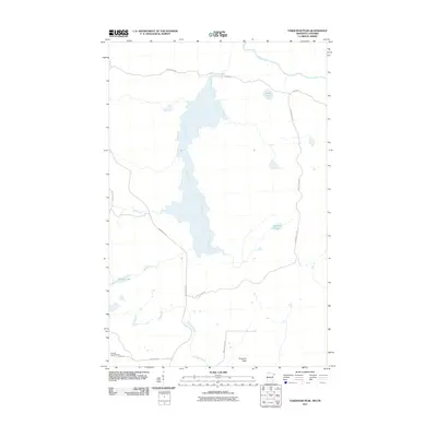
Lake Superior dominates this nautical and coastal landscape in Cook County, Minnesota. Situated along the extreme northeastern reaches of the state, the map focuses primarily on the open waters of the largest of the Great Lakes. The lack of terrestrial labels highlights the orientation of the shoreline at this specific point on the North Shore, where the vast aquatic expanse was documented by the U.S. Geological Survey and the U.S. Forest Service in 2011. This map serves as a precise record of the offshore environment and the coastal boundary just south of Mineral Center during the early twenty-first century.
Find a feature on this map
1 named feature on this map. Tap any name to fly to it.
Don’t see what you’re looking for? This feature index may not catch every label — zoom into the map to look around manually.
Map Details
Editions of this 2011 Mineral Center OE S Map
This is the sole edition of this map. No revisions or reprints were ever made.
Other maps of this area

1958 · Hancock
USGS Topo · 1:250,000

1959 · Mineral Center
USGS Topo · 1:24,000

1960 · Hancock
USGS Topo · 1:250,000
1960 · Farquhar Peak
USGS Topo · 1:24,000
1960 · Hovland
USGS Topo · 1:24,000

1961 · Hancock
USGS Topo · 1:250,000

1966 · Hancock
USGS Topo · 1:250,000

1985 · Grand Portage
USGS Topo · 1:100,000
1999 · Mineral Center
USGS Topo · 1:24,000
2011 · Farquhar Peak
USGS Topo · 1:24,000