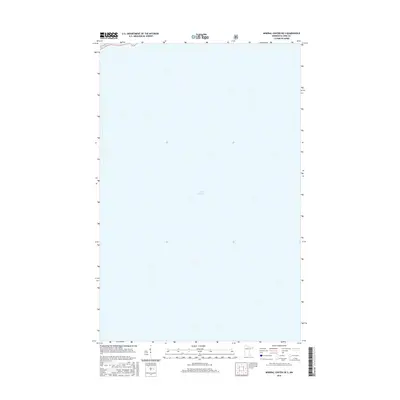
2016 Map of Mineral Center OE S
USGS Topo · Published 2016About this map
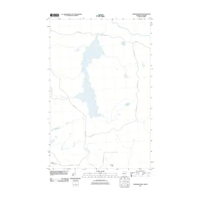
Lake Superior dominates this nautical and coastal landscape in East Cook, Minnesota. This 2016 survey provides a specialized view of the open water and shoreline along the northeastern tip of the state. Produced in collaboration with the U.S. Forest Service, the map focuses on the vast aquatic expanse of the Great Lakes system, serving as a clean record of the shoreline's position in the early 21st century. While terrestrial features are minimal, the map offers precise bathymetric and navigational coordinates for researchers and cartographic historians focused on the maritime reaches of Cook County.
Find a feature on this map
1 named feature on this map. Tap any name to fly to it.
Don’t see what you’re looking for? This feature index may not catch every label — zoom into the map to look around manually.
Map Details
Editions of this 2016 Mineral Center OE S Map
This is the sole edition of this map. No revisions or reprints were ever made.
Other maps of this area

1958 · Hancock
USGS Topo · 1:250,000

1959 · Mineral Center
USGS Topo · 1:24,000

1960 · Hancock
USGS Topo · 1:250,000
1960 · Farquhar Peak
USGS Topo · 1:24,000
1960 · Hovland
USGS Topo · 1:24,000

1961 · Hancock
USGS Topo · 1:250,000

1966 · Hancock
USGS Topo · 1:250,000

1985 · Grand Portage
USGS Topo · 1:100,000
1999 · Mineral Center
USGS Topo · 1:24,000
2011 · Farquhar Peak
USGS Topo · 1:24,000